Google maps or look below for zoomed in maps and photos.
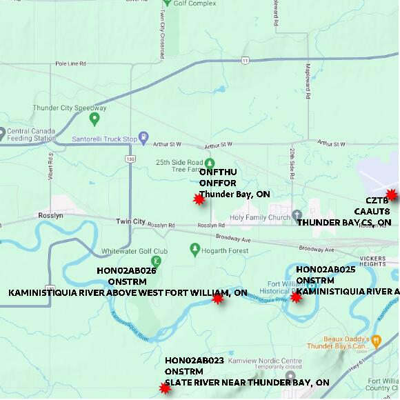
STATION ONFTHU Thunder Bay ON elevation 218.592 metres ON Ministry of Northern Development; Mines; Natural Resources and Forestry; Aviation; Forest Fire and Emergency Services
Map 60x60 km

STATION ONFTHU Thunder Bay ON elevation 218.592 metres ON Ministry of Northern Development; Mines; Natural Resources and Forestry; Aviation; Forest Fire and Emergency Services
Map 10x10 km
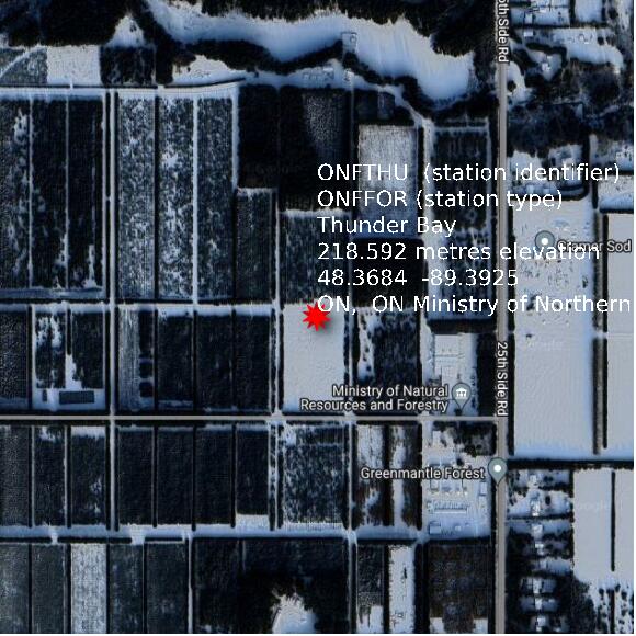
STATION ONFTHU Thunder Bay ON elevation 218.592 metres ON Ministry of Northern Development; Mines; Natural Resources and Forestry; Aviation; Forest Fire and Emergency Services
Map 1x1 km
Google basemap data