Google maps or look below for zoomed in maps and photos.
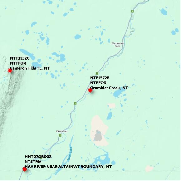
STATION NTF15728 Grumbler Creek NT elevation 285 metres Government of Northwest Territories: Department of Environment and Natural Resources; Forest Management Division
Map 60x60 km
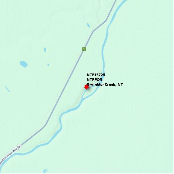
STATION NTF15728 Grumbler Creek NT elevation 285 metres Government of Northwest Territories: Department of Environment and Natural Resources; Forest Management Division
Map 10x10 km
STATION NTF15728 Grumbler Creek NT elevation 285 metres Government of Northwest Territories: Department of Environment and Natural Resources; Forest Management Division
Map 1x1 km
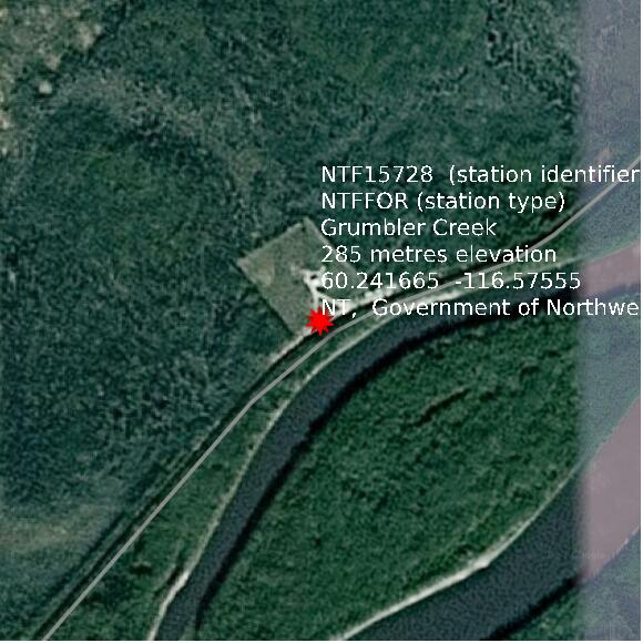
Google basemap data