Google maps or look below for zoomed in maps and photos.
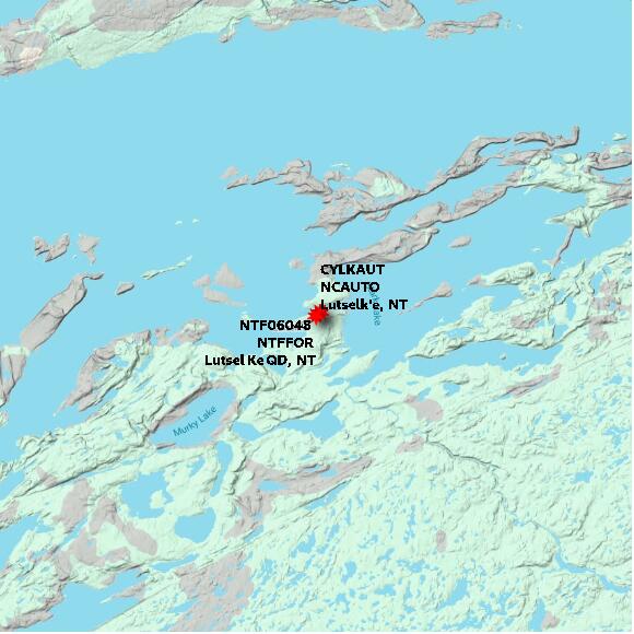
STATION NTF06048 Lutsel Ke QD NT elevation 149 metres Government of Northwest Territories: Department of Environment and Natural Resources; Forest Management Division
Map 60x60 km
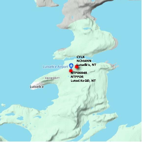
STATION NTF06048 Lutsel Ke QD NT elevation 149 metres Government of Northwest Territories: Department of Environment and Natural Resources; Forest Management Division
Map 10x10 km
STATION NTF06048 Lutsel Ke QD NT elevation 149 metres Government of Northwest Territories: Department of Environment and Natural Resources; Forest Management Division
Map 1x1 km
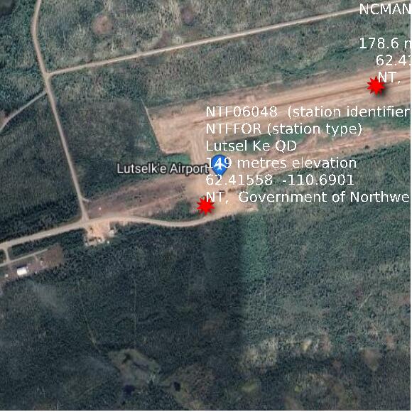
Google basemap data