Google maps or look below for zoomed in maps and photos.
STATION NLW0004 Churchill River at end of Mud Lake Road NL elevation 0 metres Government of Newfoundland and Labrador: Department of Environment; Climate Change; and Municipalities; Water Resources Management Division
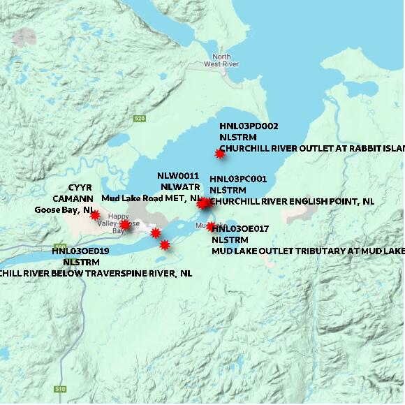
Map 60x60 km
STATION NLW0004 Churchill River at end of Mud Lake Road NL elevation 0 metres Government of Newfoundland and Labrador: Department of Environment; Climate Change; and Municipalities; Water Resources Management Division
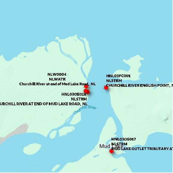
Map 10x10 km
STATION NLW0004 Churchill River at end of Mud Lake Road NL elevation 0 metres Government of Newfoundland and Labrador: Department of Environment; Climate Change; and Municipalities; Water Resources Management Division
Map 1x1 km
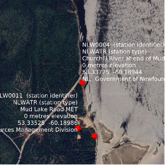
Google basemap data