Google maps or look below for zoomed in maps and photos.
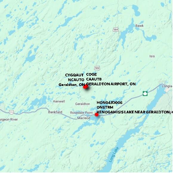
STATION COGEM GERALDTON AIRPORT ON elevation 349.97 metres MSC
Map 60x60 km
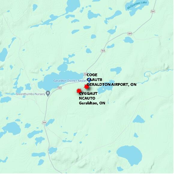
STATION COGEM GERALDTON AIRPORT ON elevation 349.97 metres MSC
Map 10x10 km
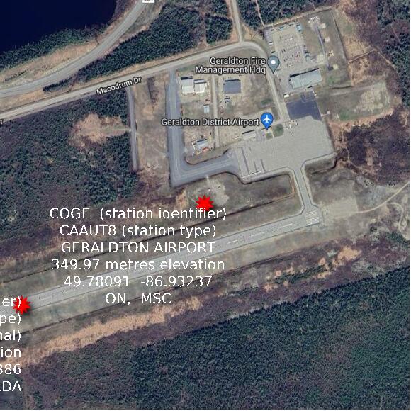
STATION COGEM GERALDTON AIRPORT ON elevation 349.97 metres MSC
Map 1x1 km
Google basemap data