Google maps or look below for zoomed in maps and photos.
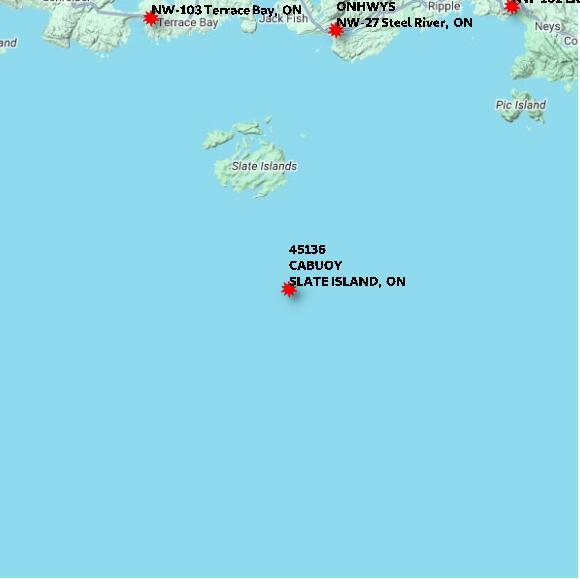
STATION 45136 SLATE ISLAND XX elevation 183 metres EC in support of Ocean Protection Plan.
Map 60x60 km
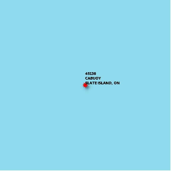
STATION 45136 SLATE ISLAND XX elevation 183 metres EC in support of Ocean Protection Plan.
Map 10x10 km
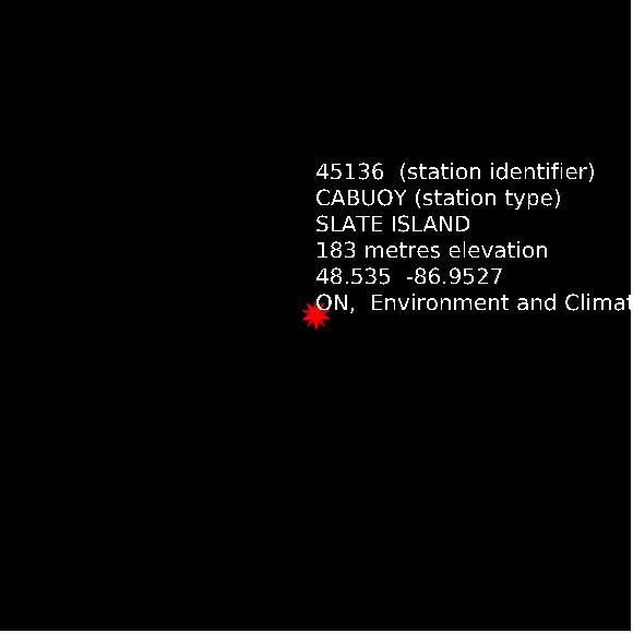
STATION 45136 SLATE ISLAND XX elevation 183 metres EC in support of Ocean Protection Plan.
Map 1x1 km
Google basemap data