Long range forecasts: 3 to 10 days into the future
The trick to using long range forecasts is to know when there is or isn't skill ▾ in the forecast for your location.
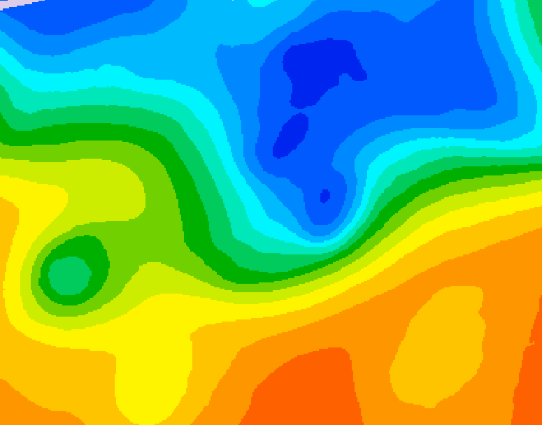
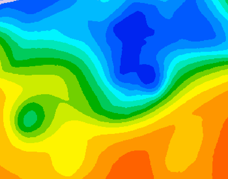
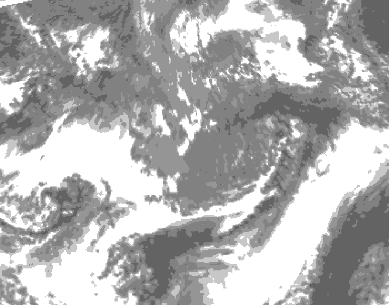
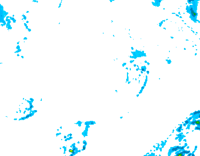
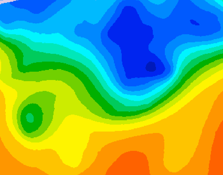
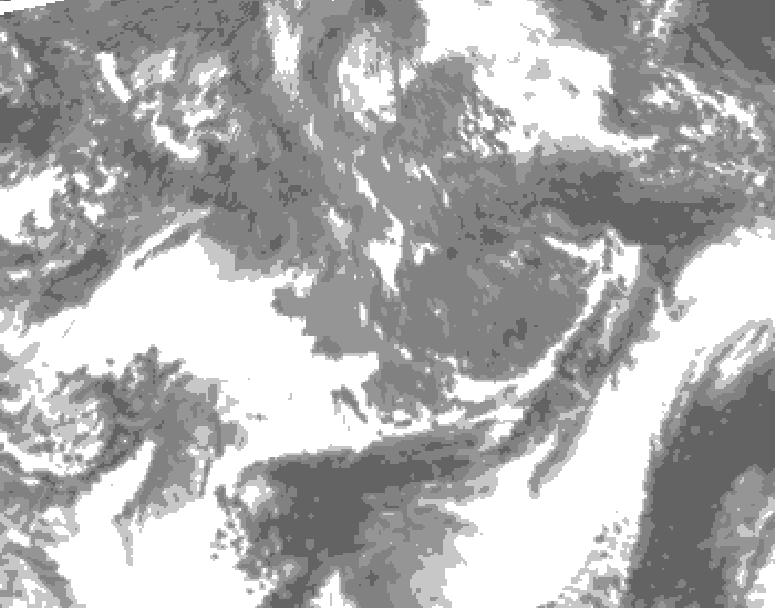
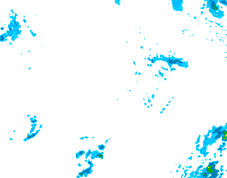
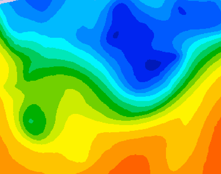
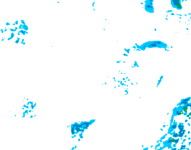
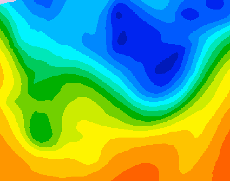
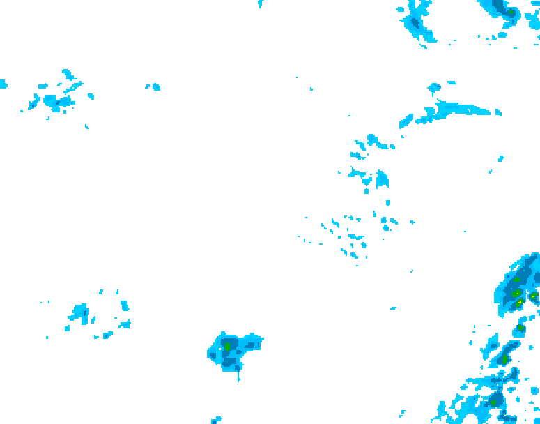
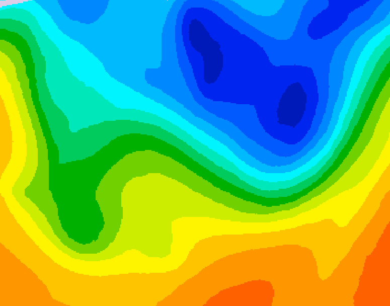
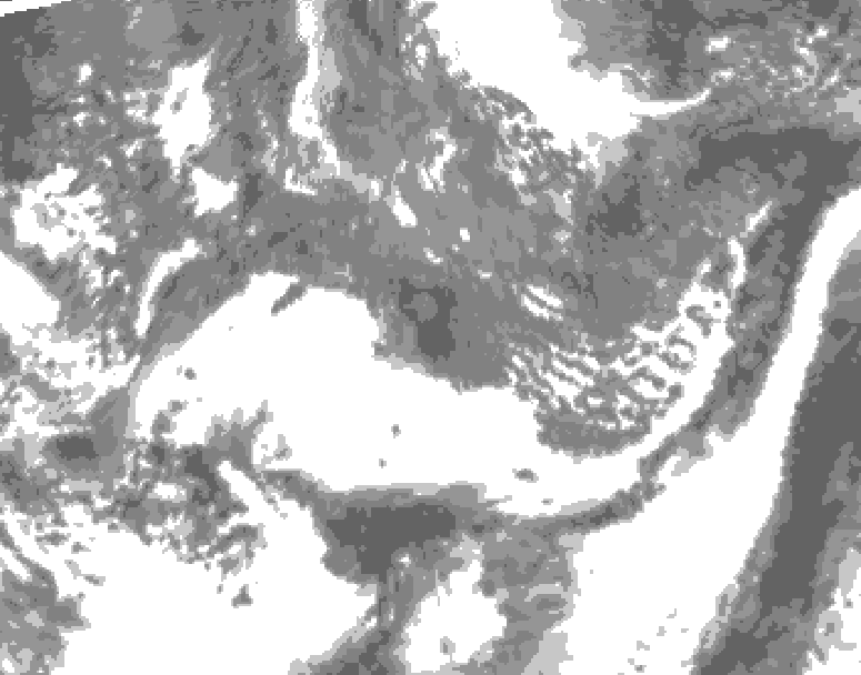
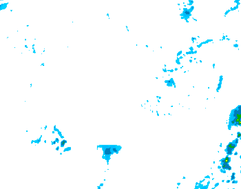
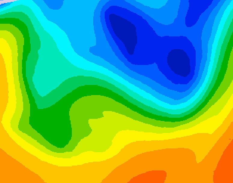
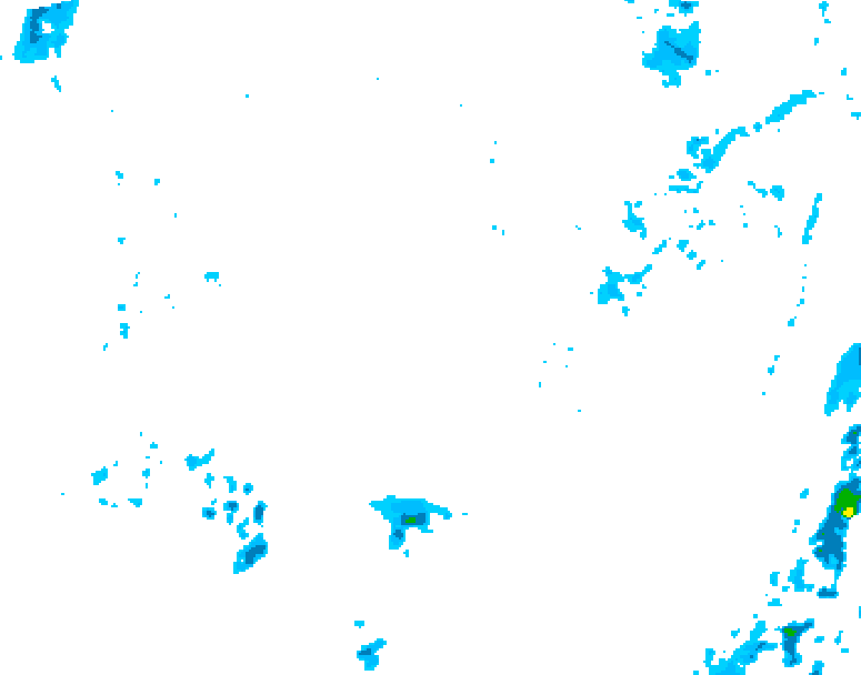
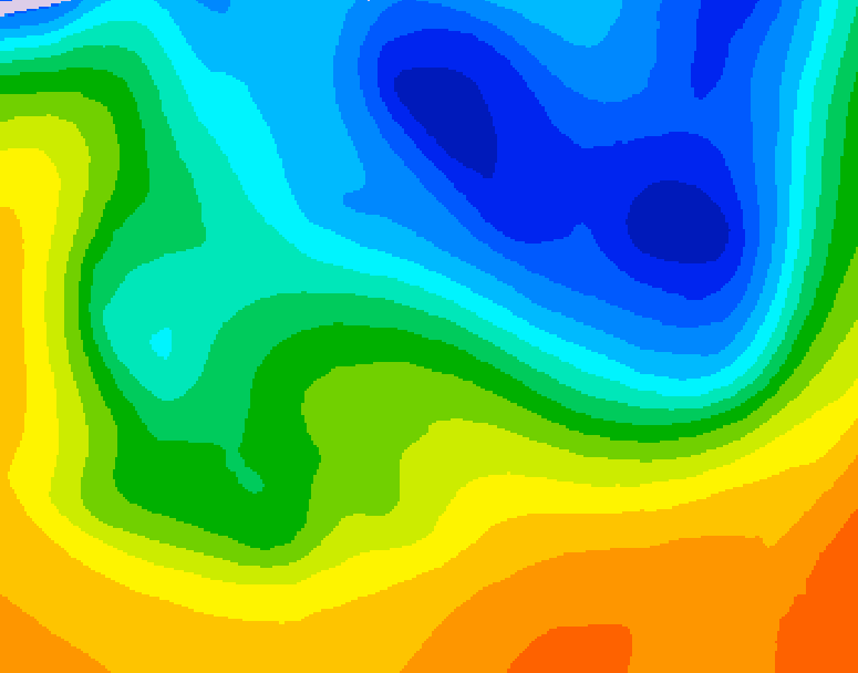
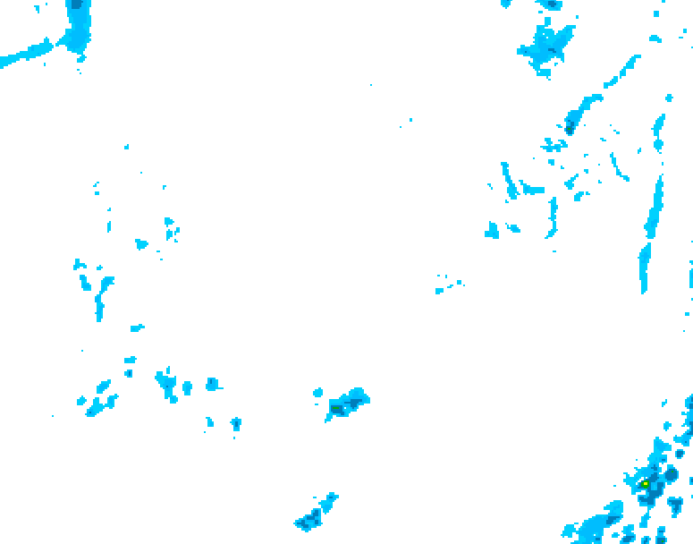
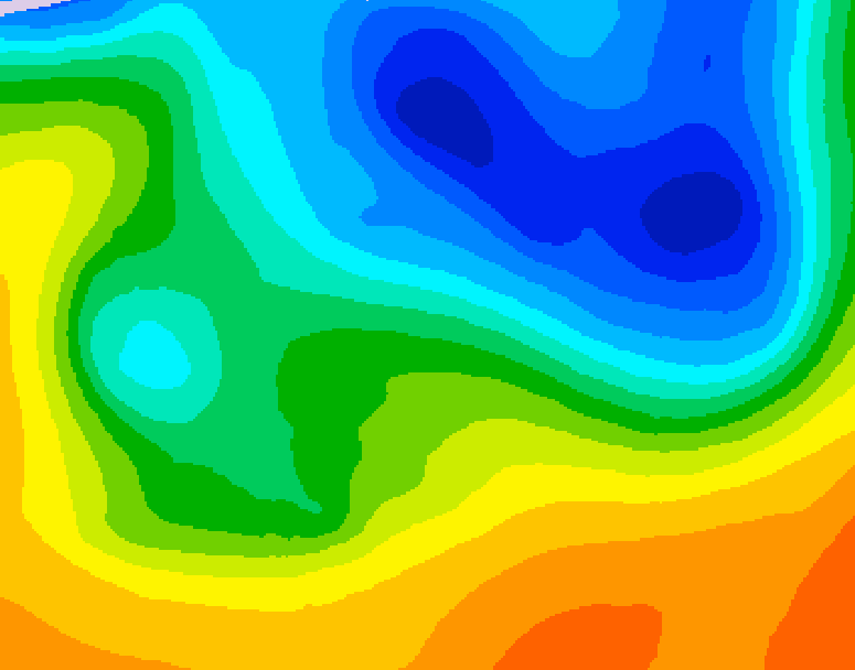
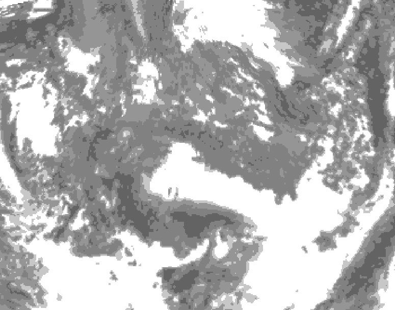
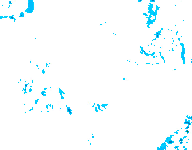
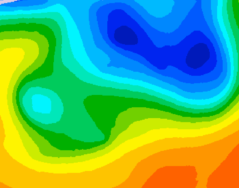
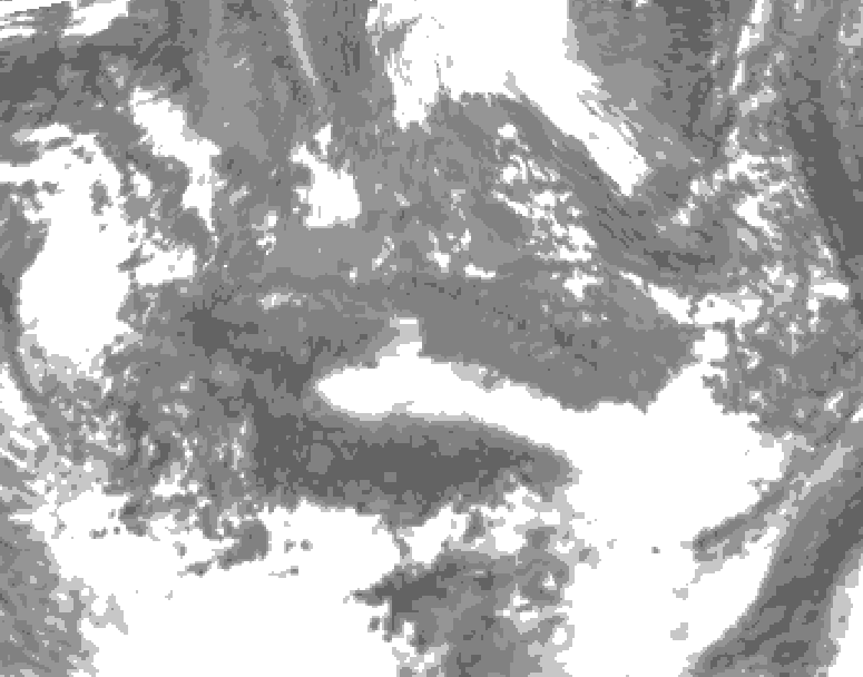
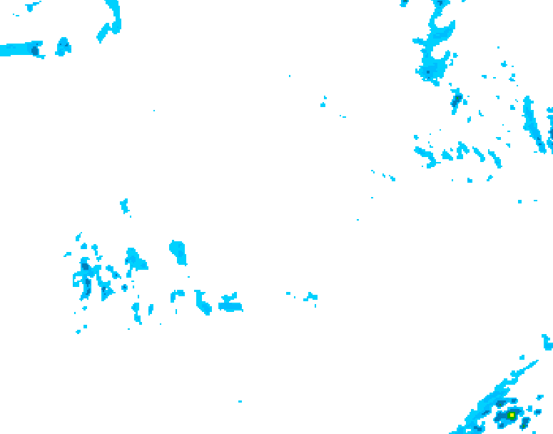
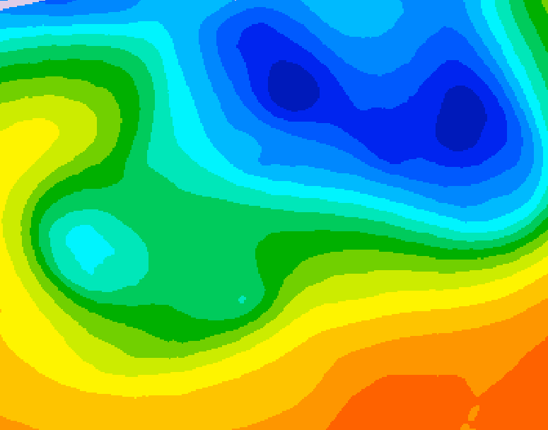
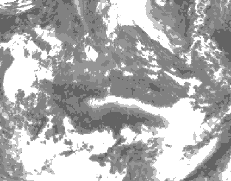
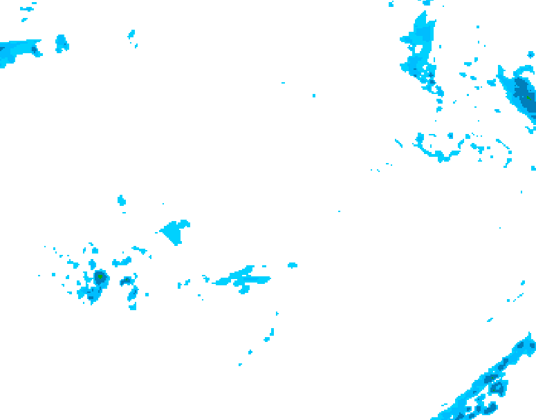
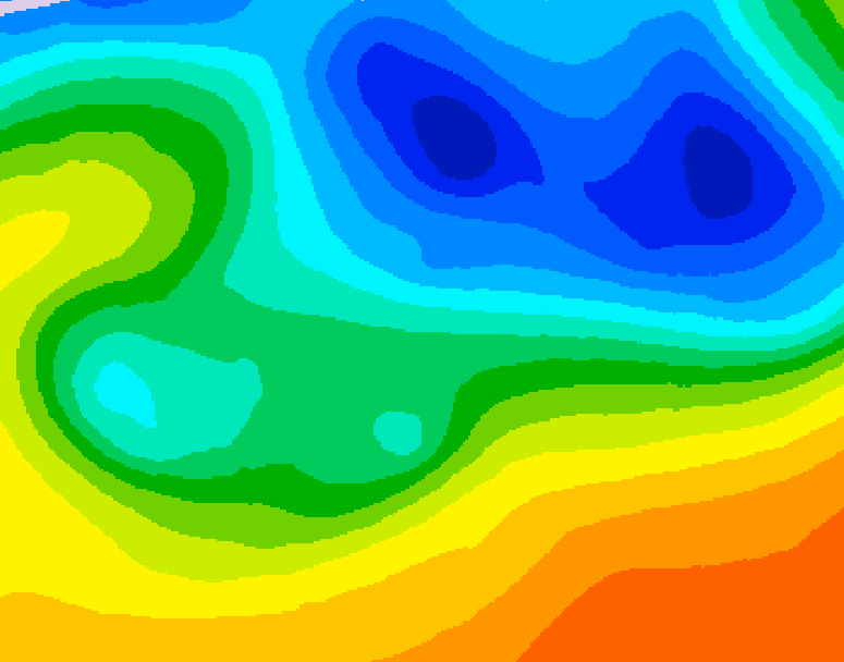
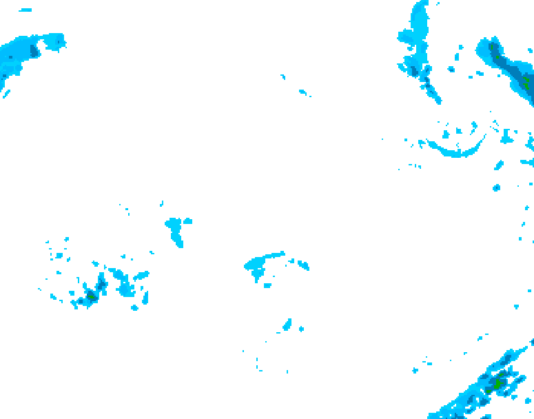
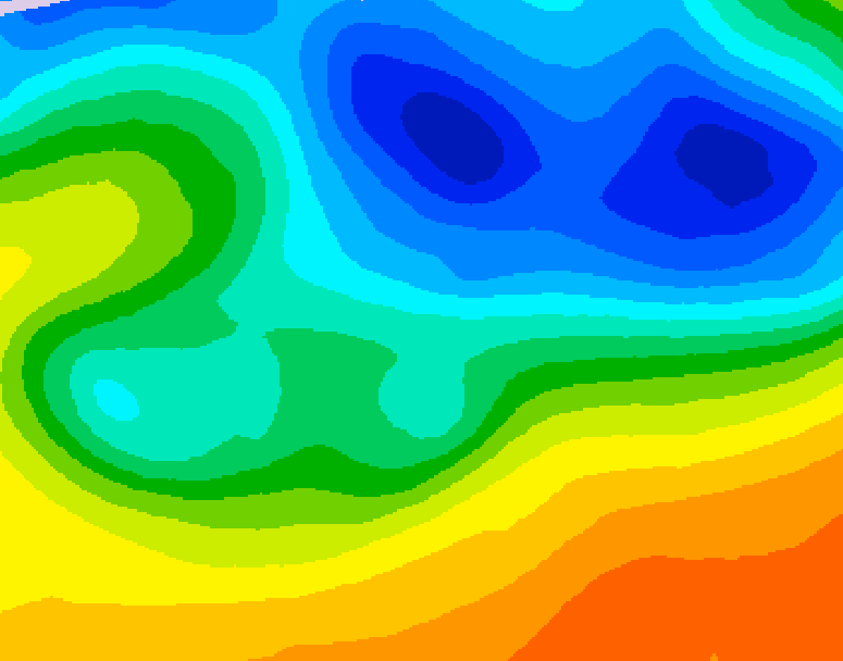
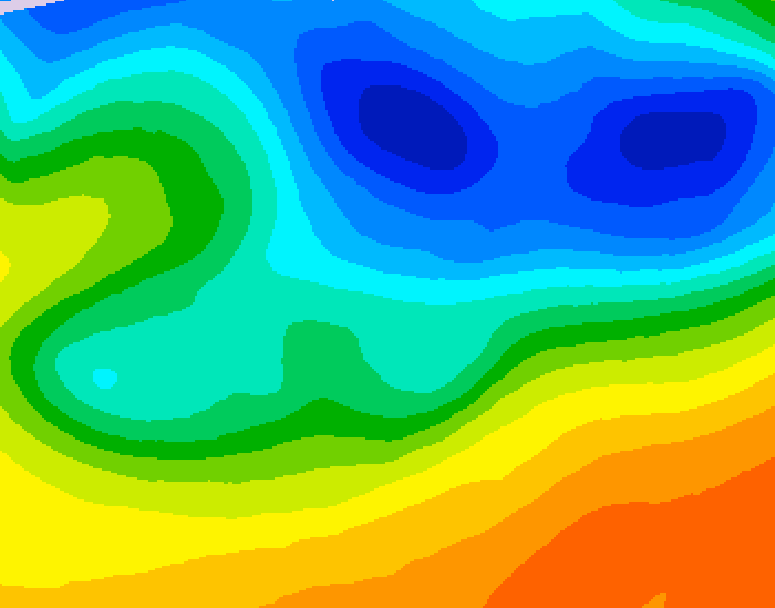
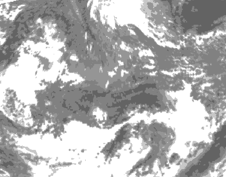
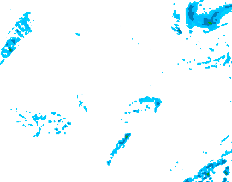
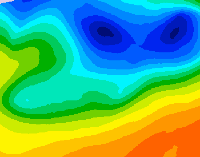
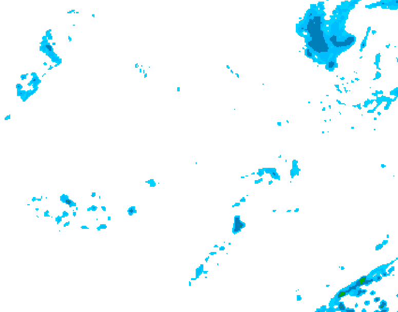
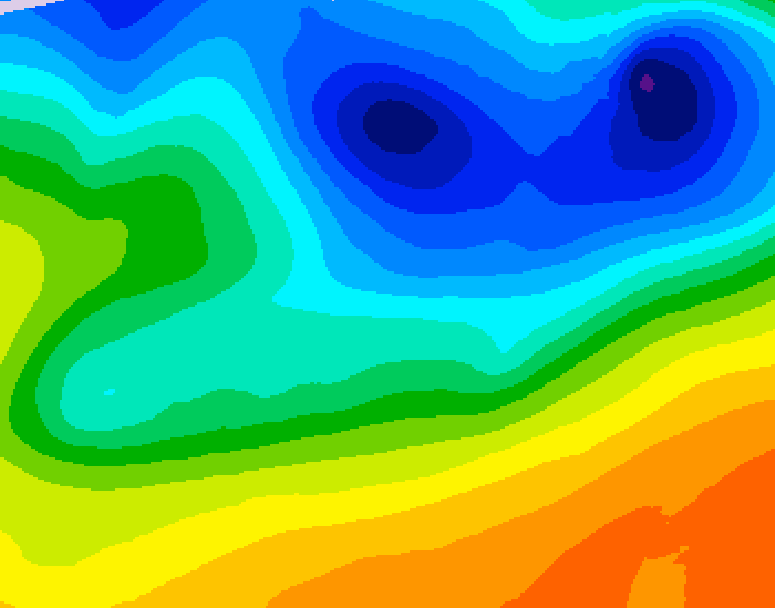
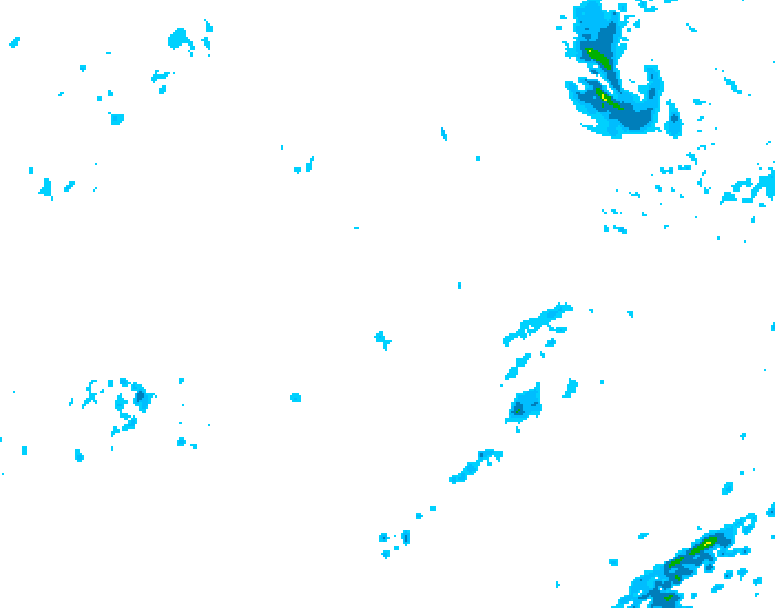
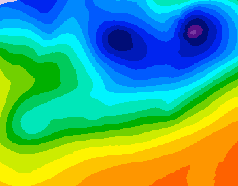
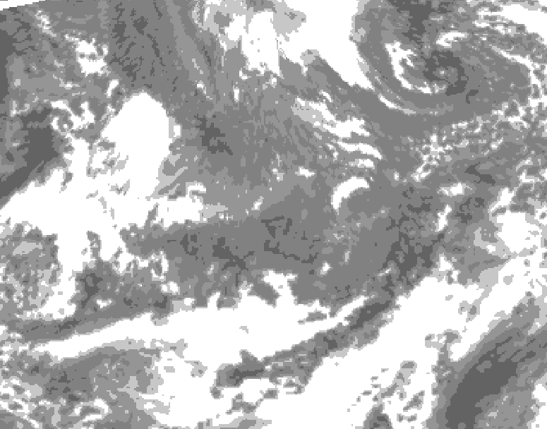
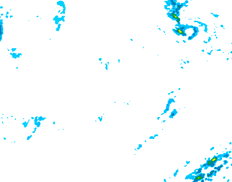
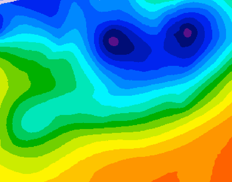
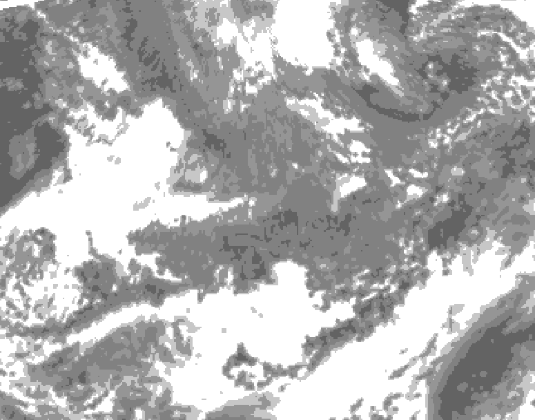
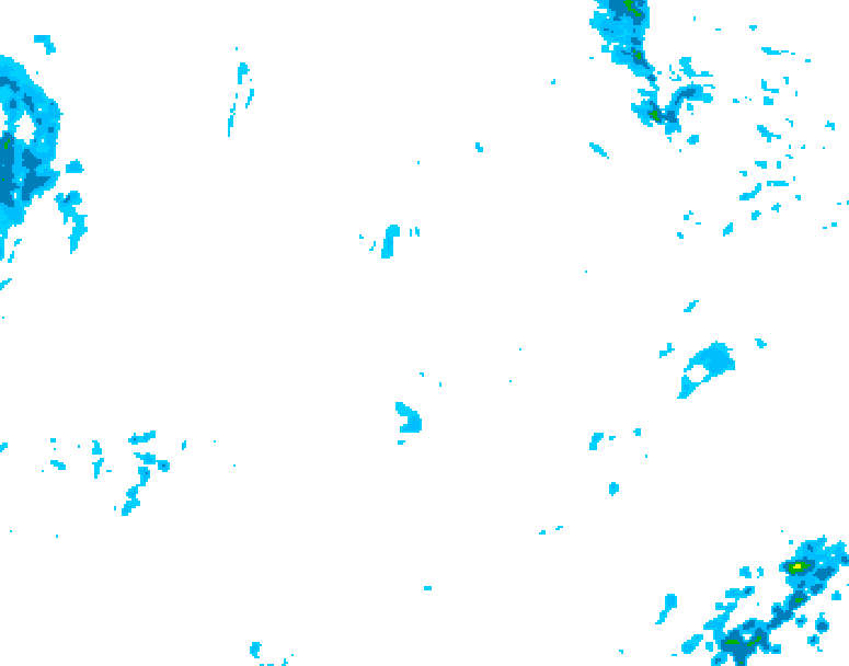
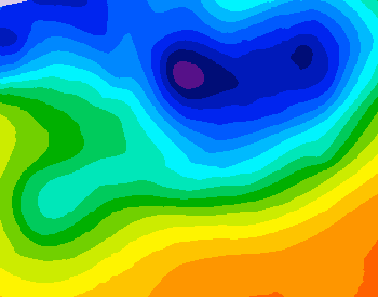
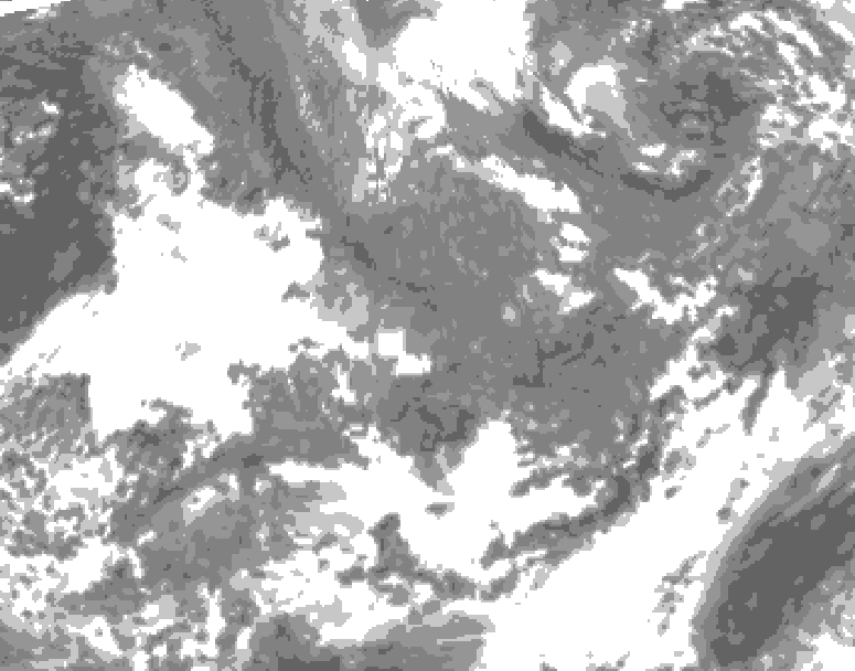
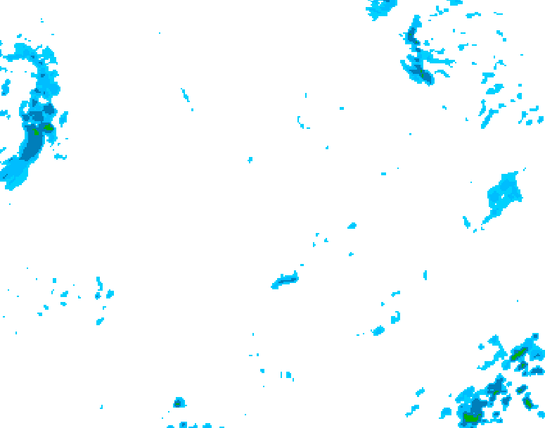
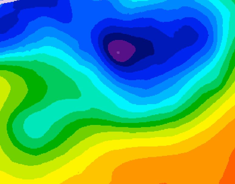
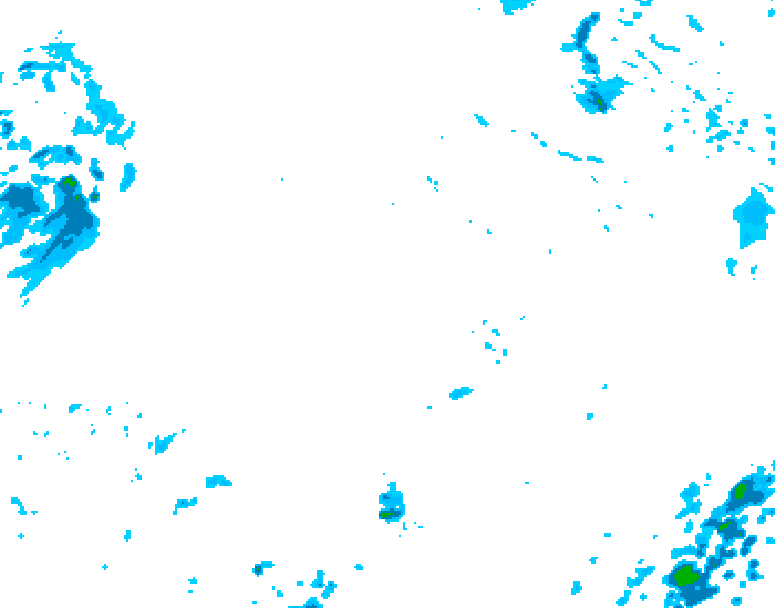
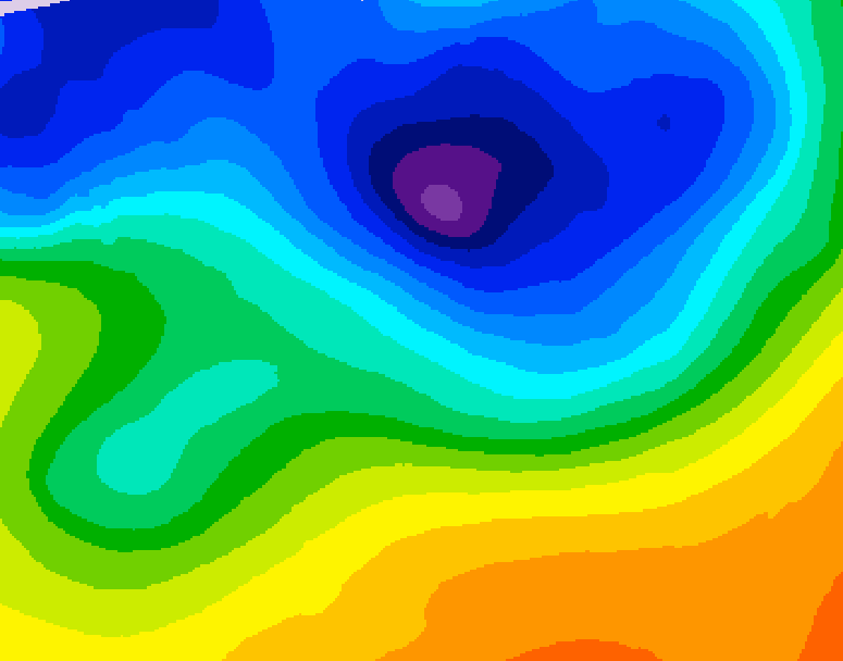
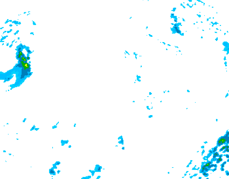
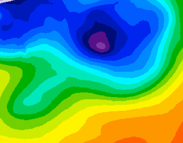
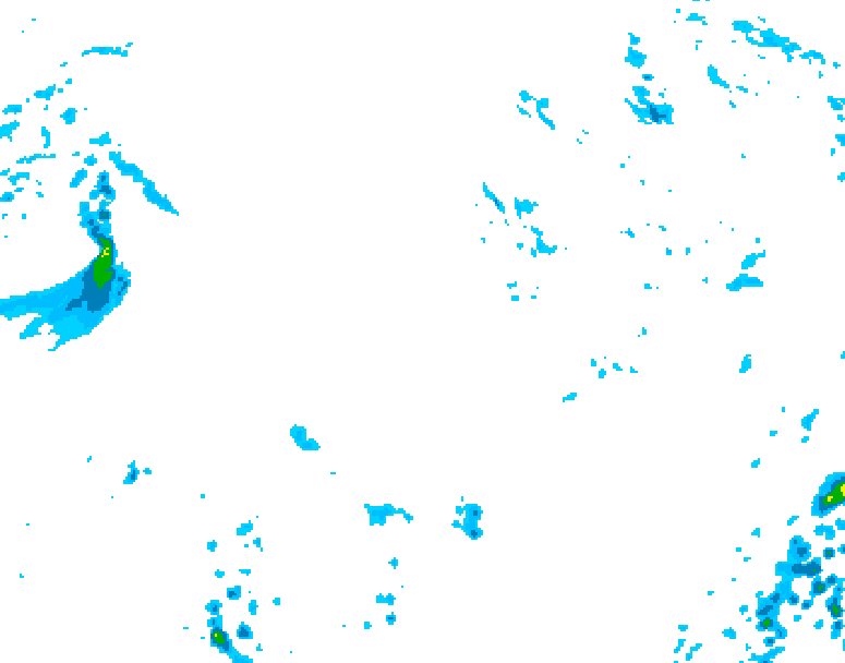
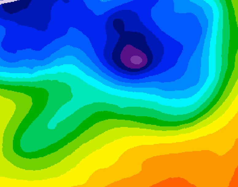
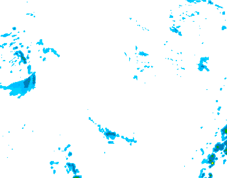
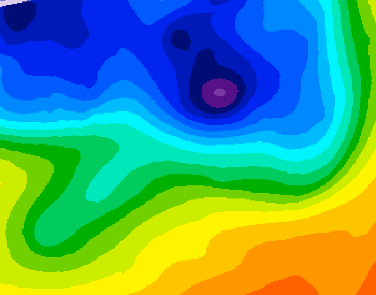
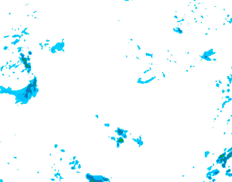
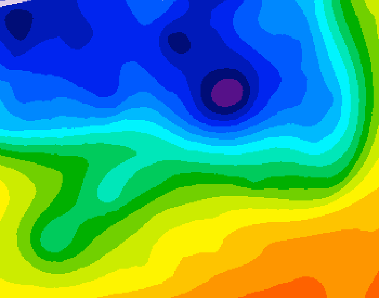
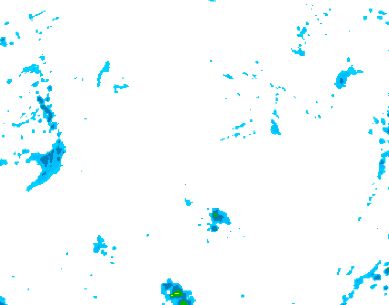
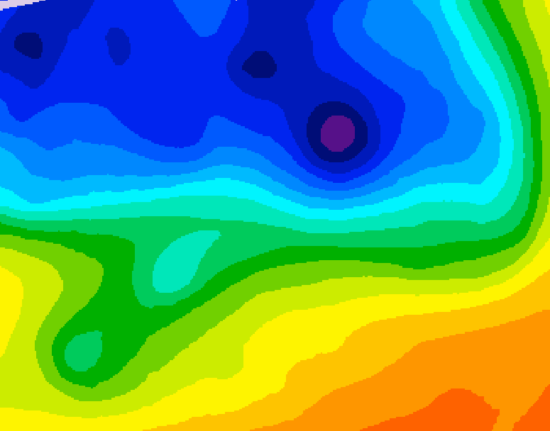
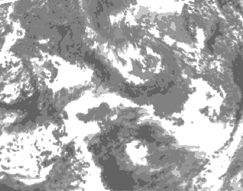
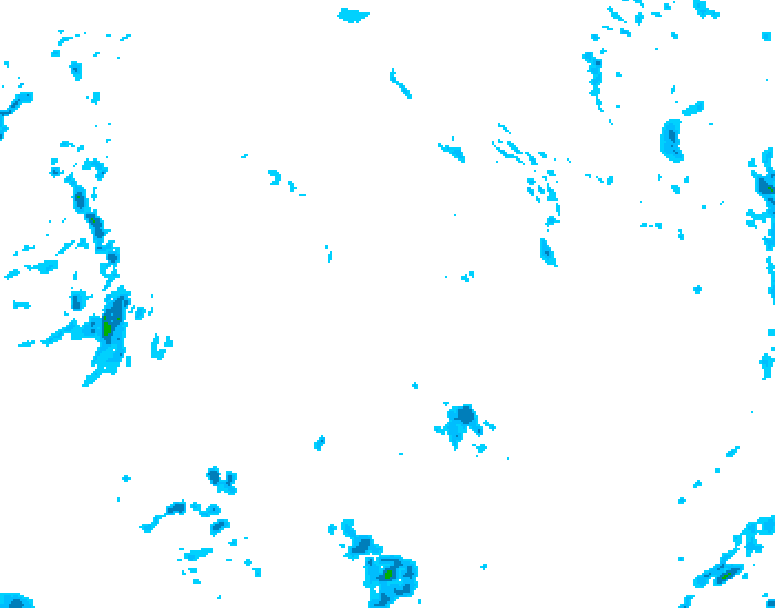
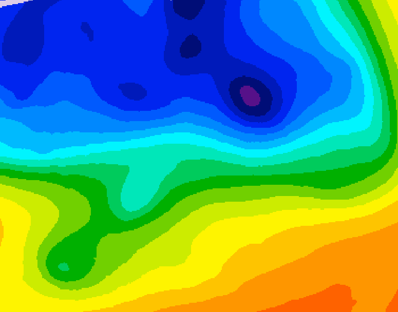
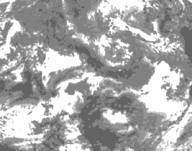
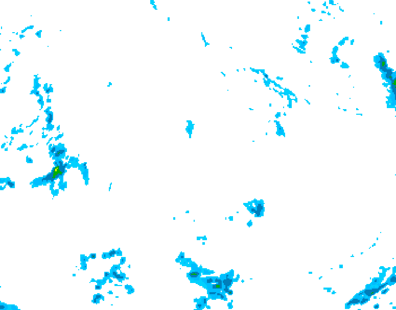
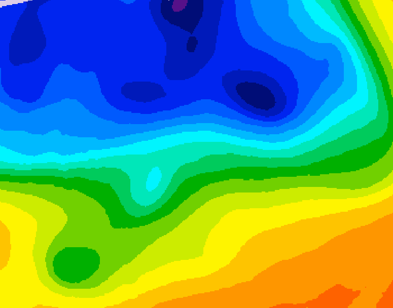
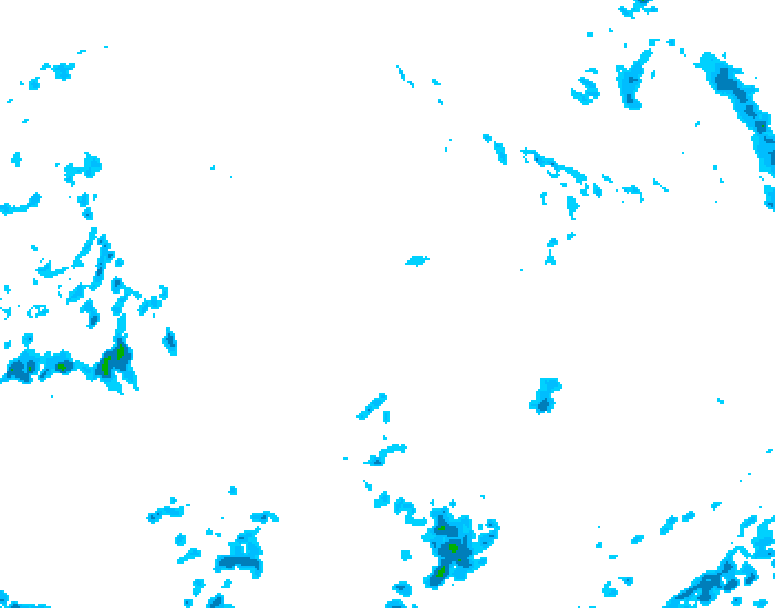
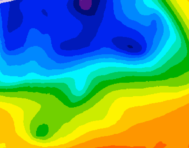
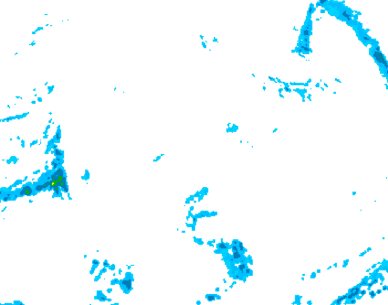
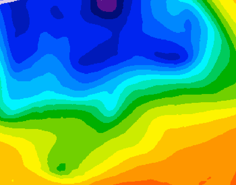
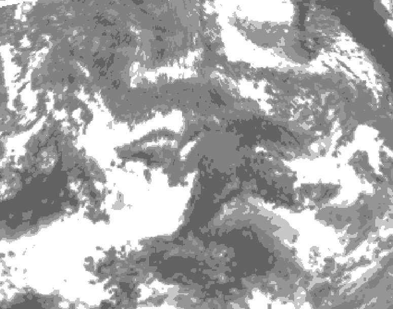
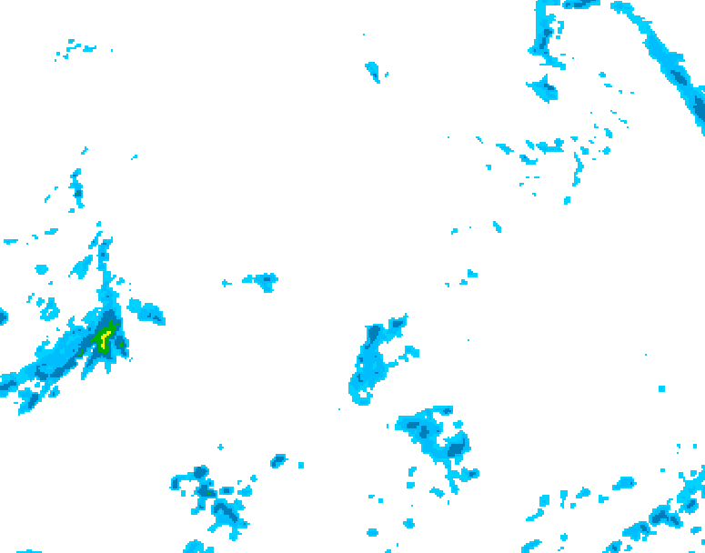
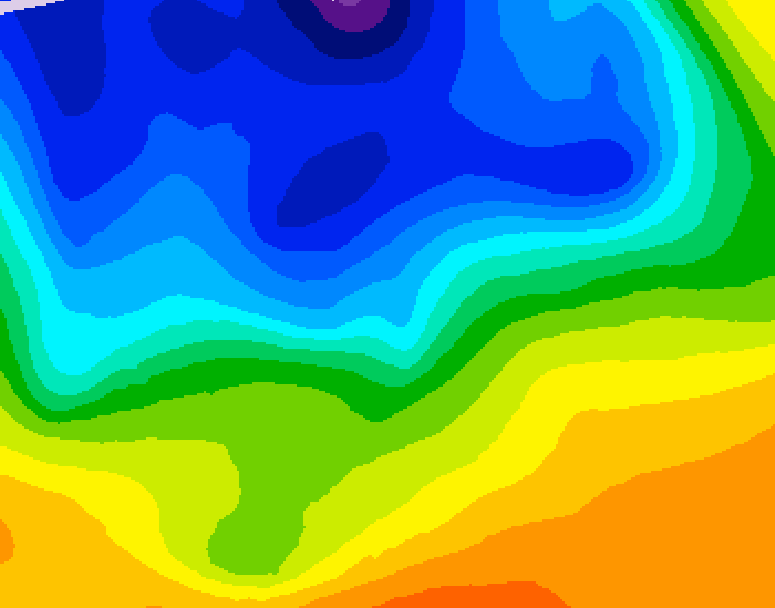
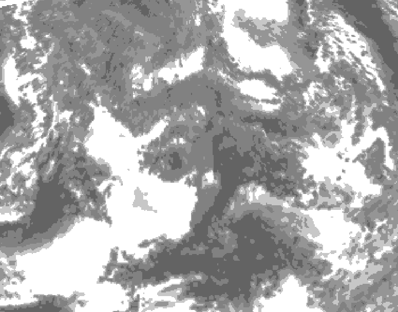
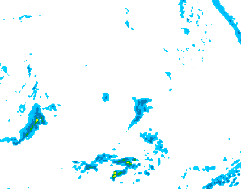
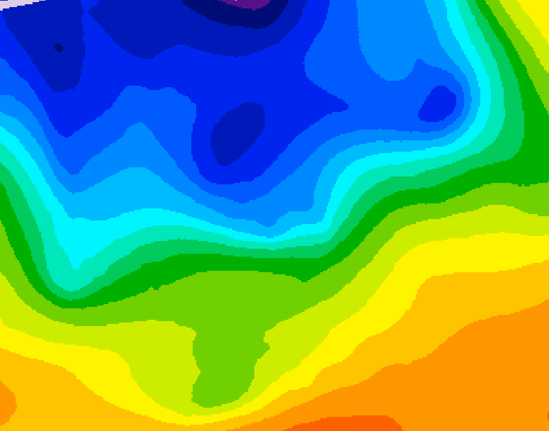
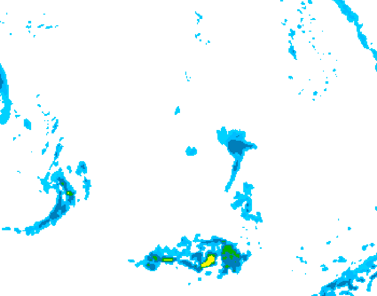
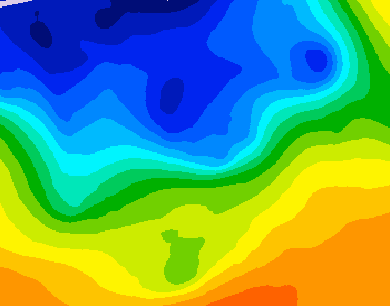
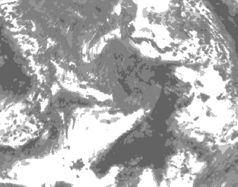
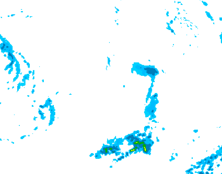
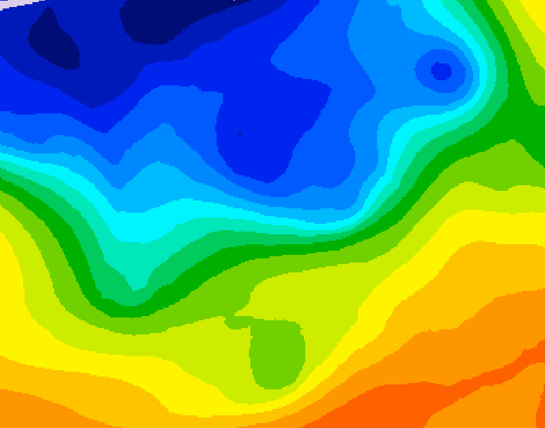
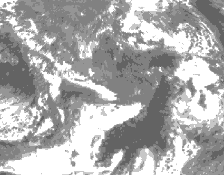
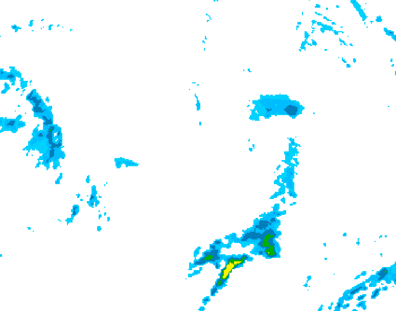
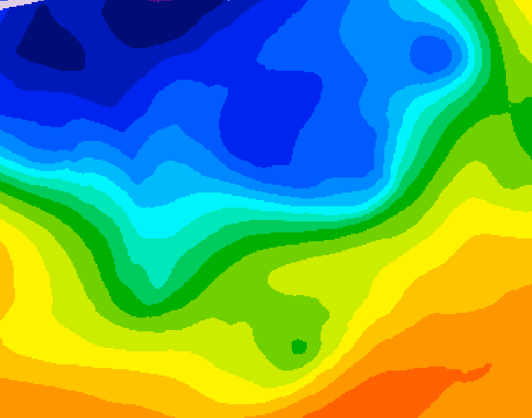
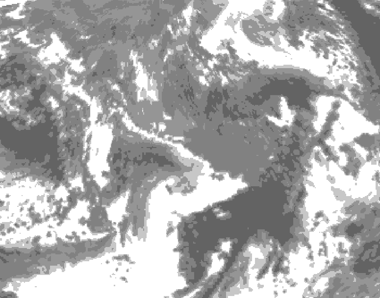
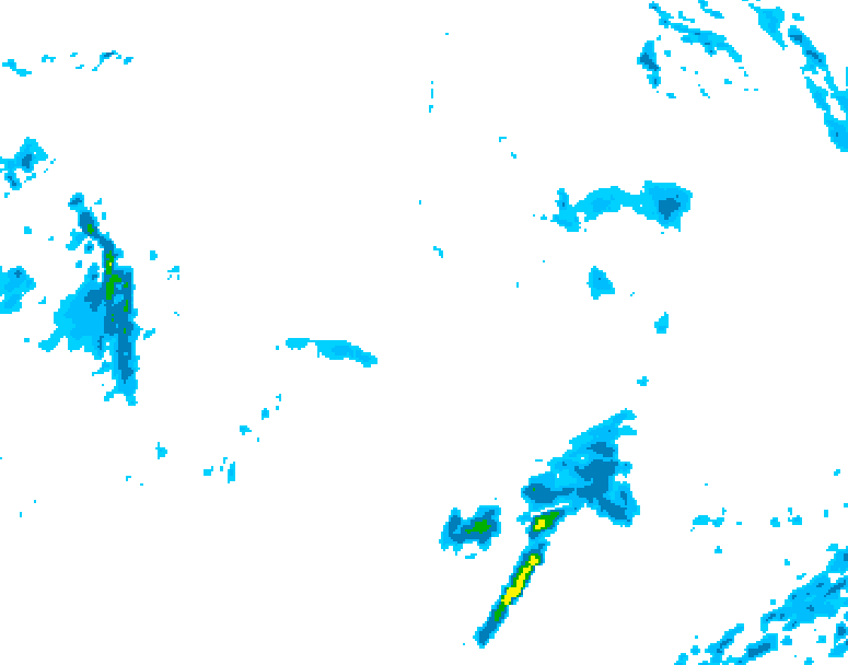
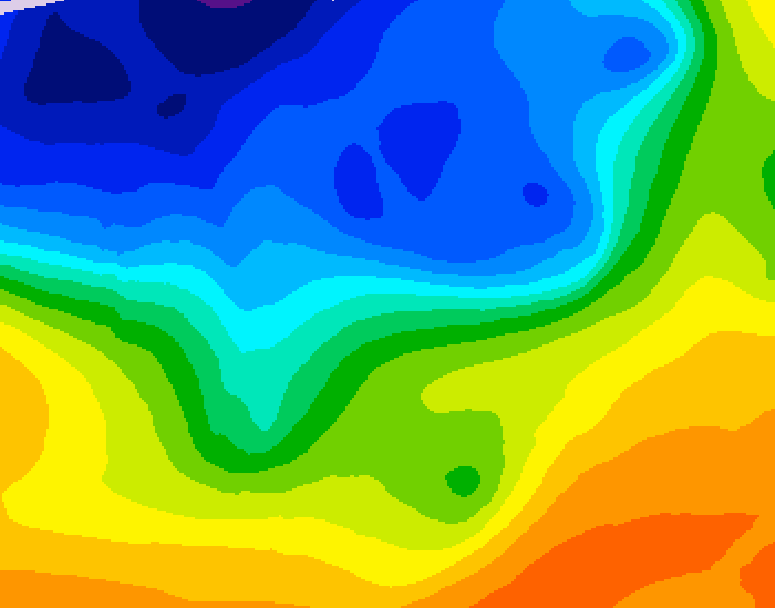
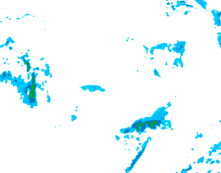
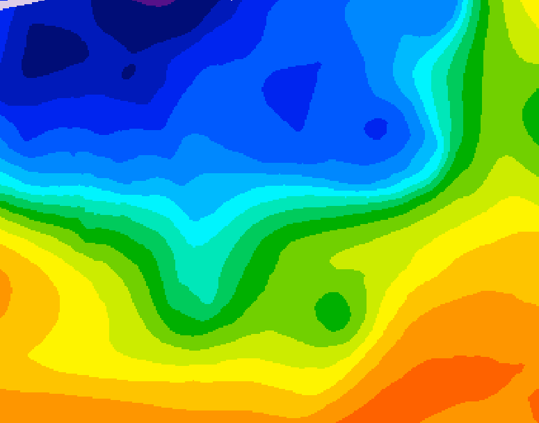
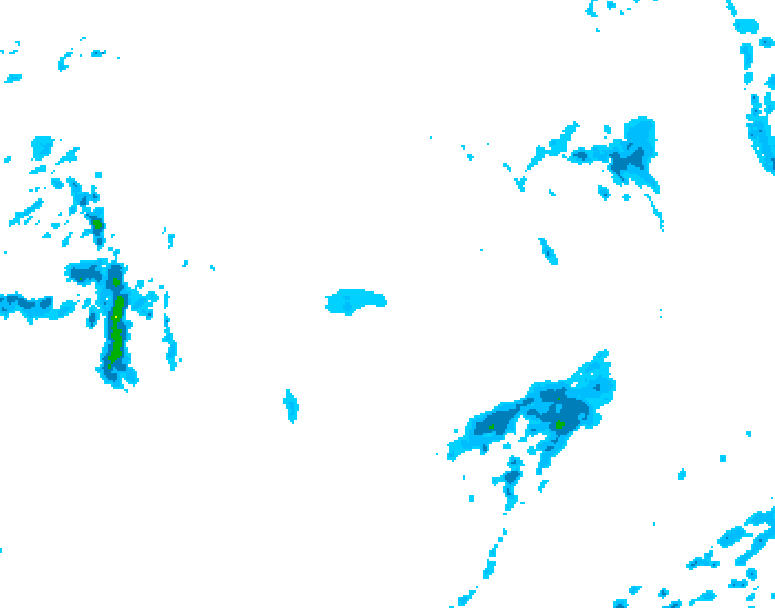
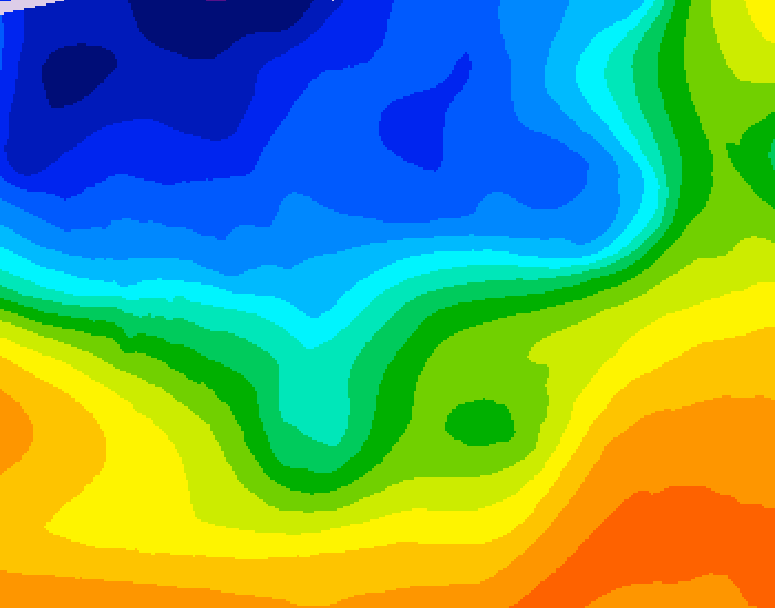
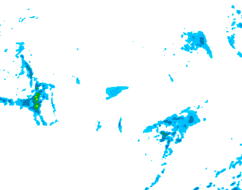
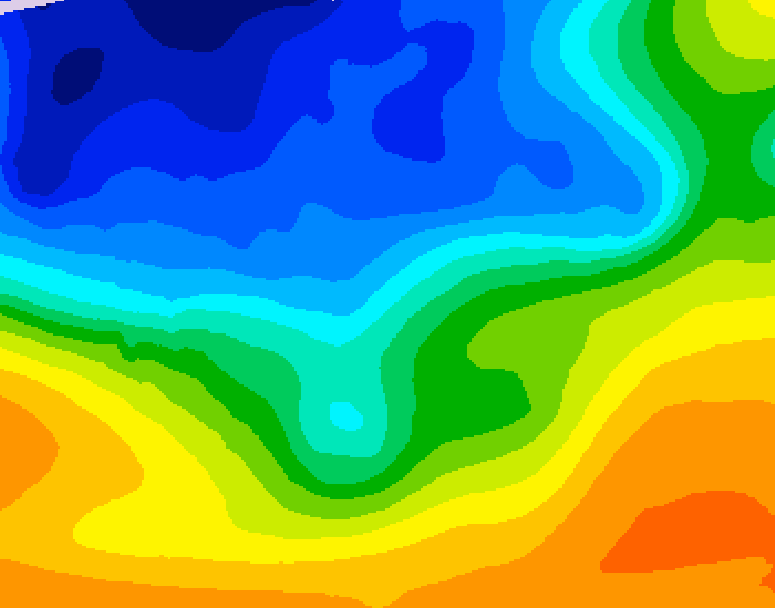
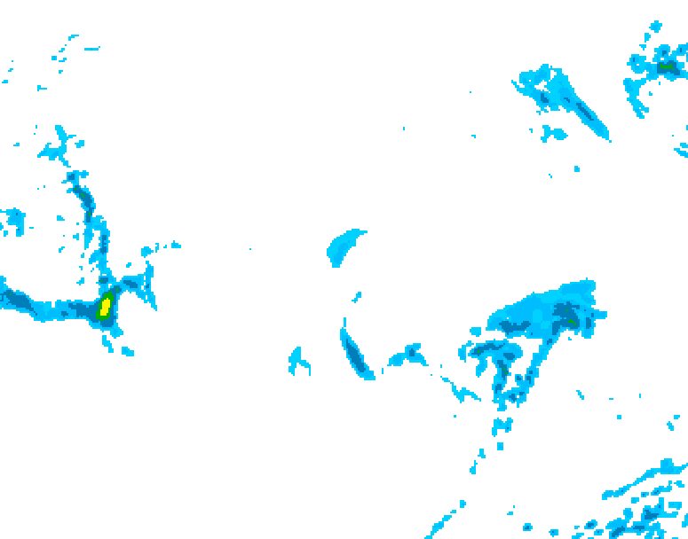
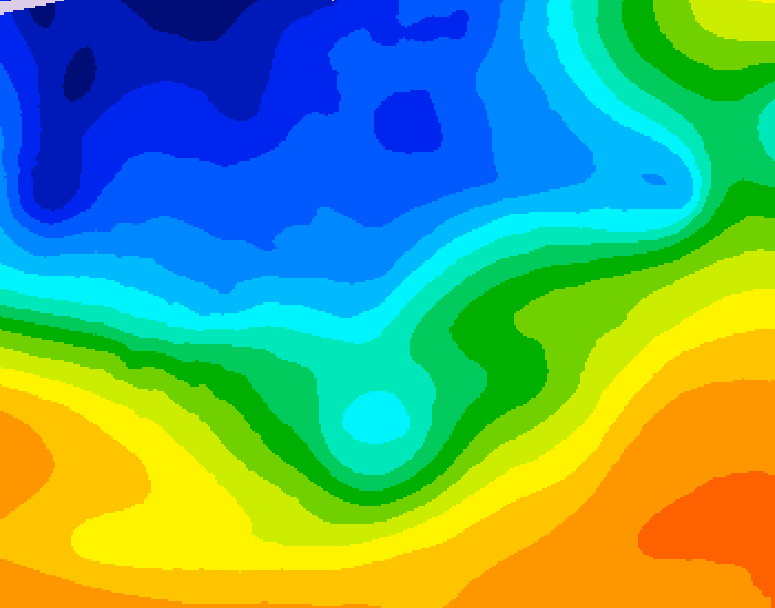
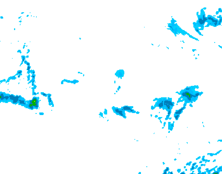
The latest 10 day MSC GDPS model forecast is shown below in 6 hour steps. Cold air is blue/purple, warm air is yellow/orange. The blue sprinkles indicate precipitation. Storms grow where warm and cold air approach each other to form a stronger jet stream (where the coloured bands are tightly packed) and particularly in southwest flow.
Here are six forecasts for the same time today but made 7 to 10 days ago - chaos?
These were made in the last 3 days - order!
These forecasts for today were produced every 12 hours over the last 10 days. If the forecasts were perfect they would all be identical - All 20 forecasts
Here are the latest forecasts valid near midday for Canada on
each of the next 9 or 10 days:
Mon26/Day1 Tue27/Day2 Wed28/Day3 Thu29/Day4 Fri30/Day5 Sat31/Day6 Sun01/Day7
Mon02/Day8 Tue03/Day9
Location is important. If you are located away from the jet stream then you will likely have a better forecast for further into the future.
The above illustrates the problem and for day-to-day use we also have map charts of precipitation averaged over many slightly different models (an "ensemble") on the EC/MSC website.Current GDPS 10 day forecast legend ▾
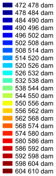
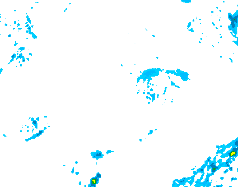
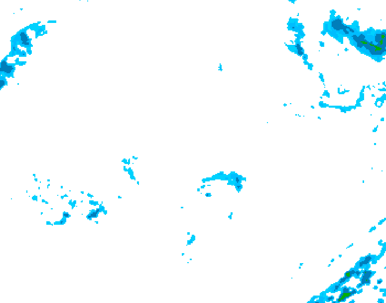
Instantaneous precipitation: 0.5 - 1.0 mm/hr: light blue
1.0 - 5.0 mm/hr: dark blue5.0 - 10.0 mm/hr: green
>10.0 mm/hr: yellow
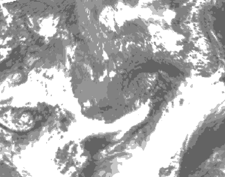
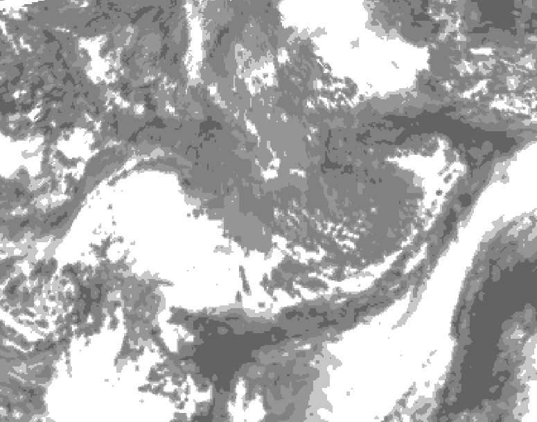
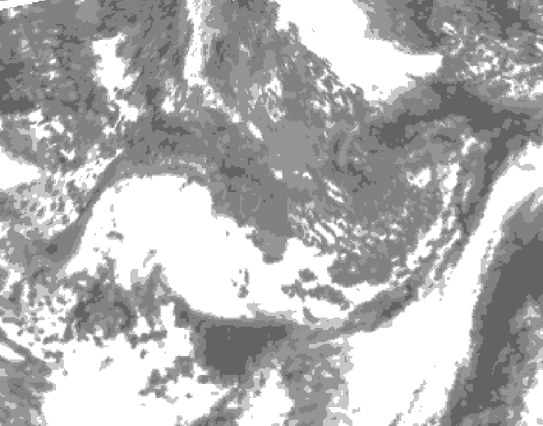
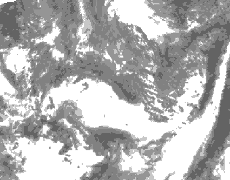
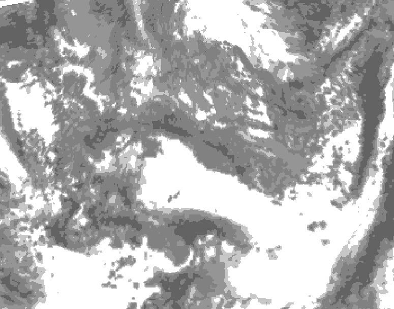
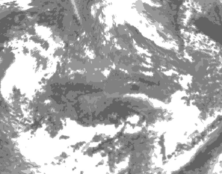
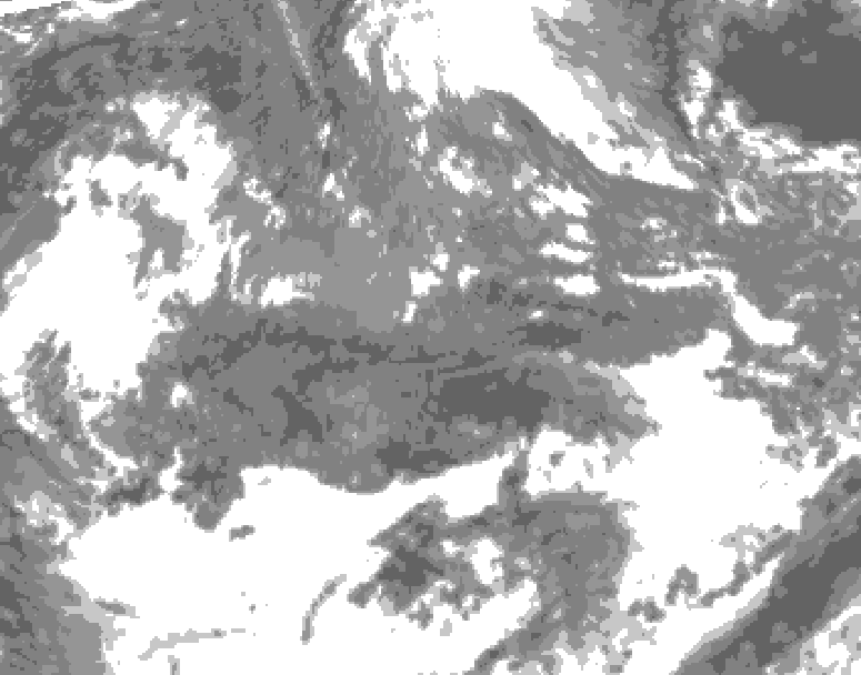
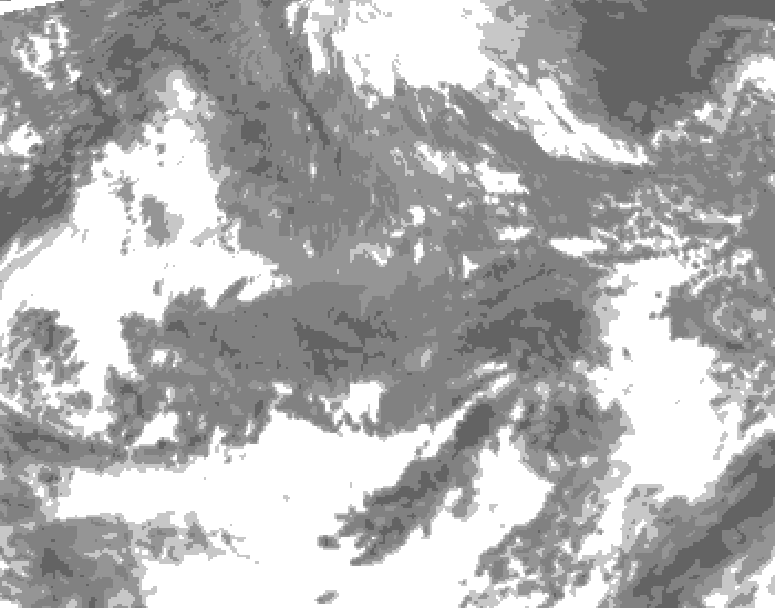
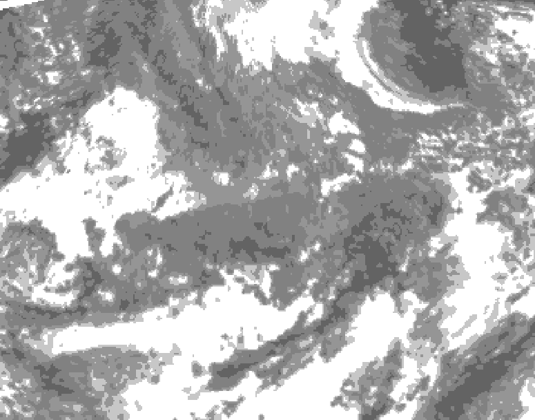
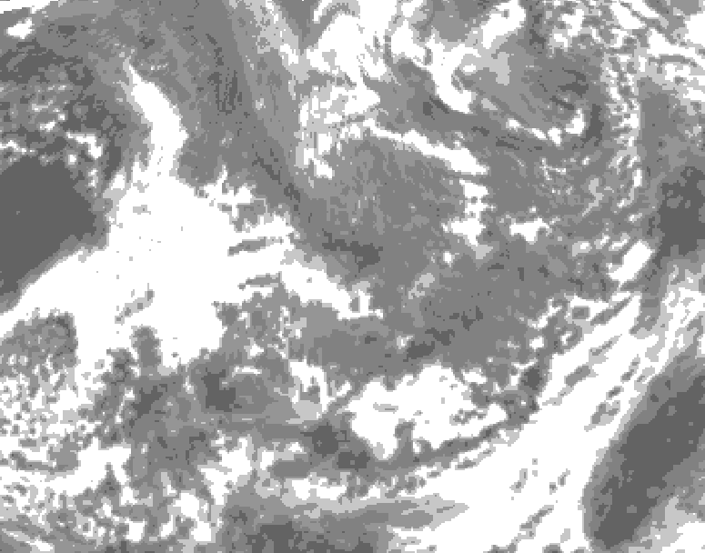
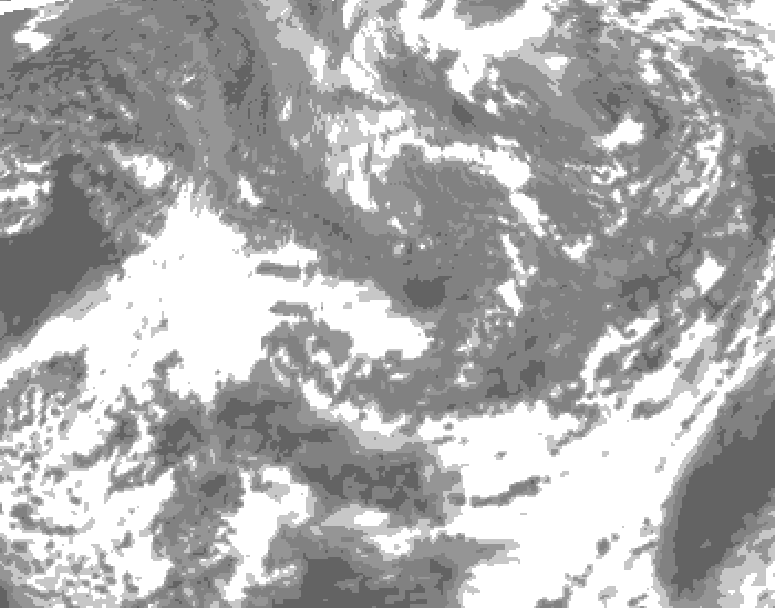
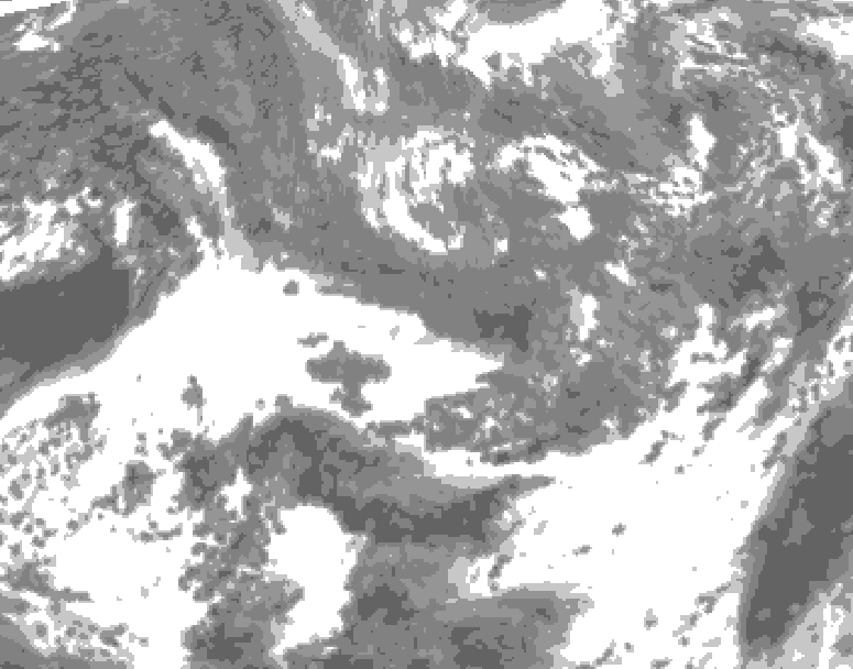
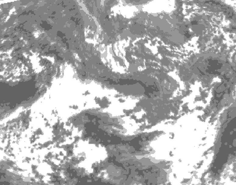
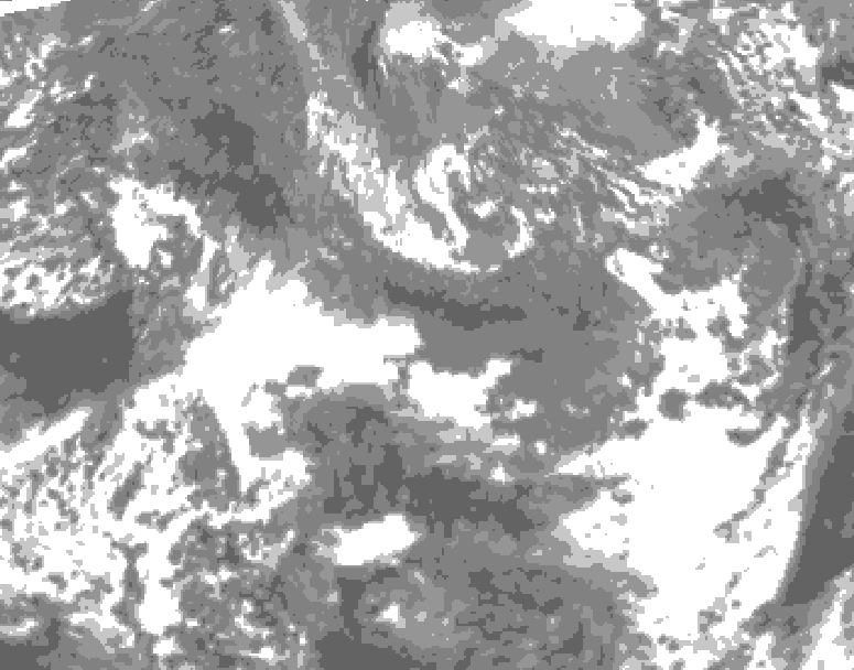
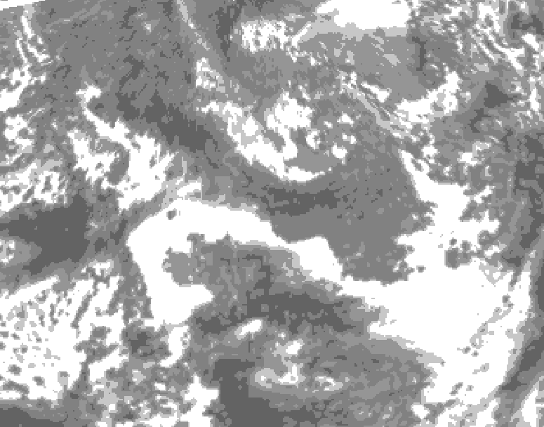
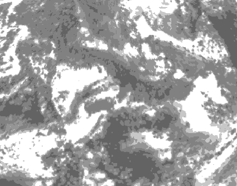
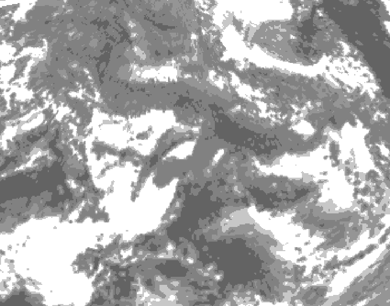
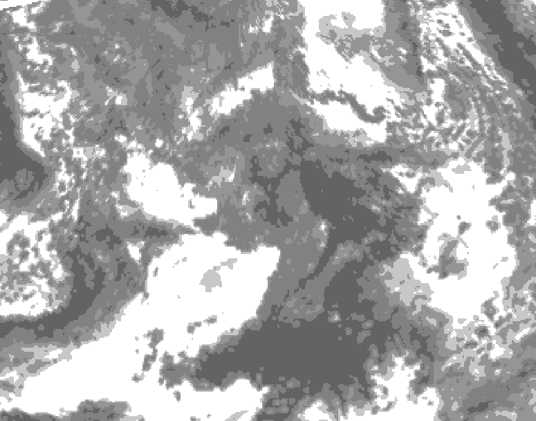
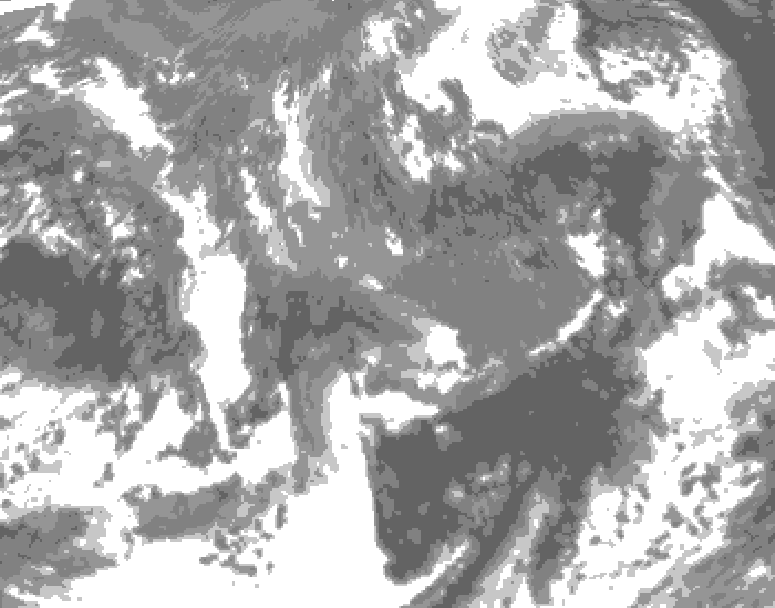
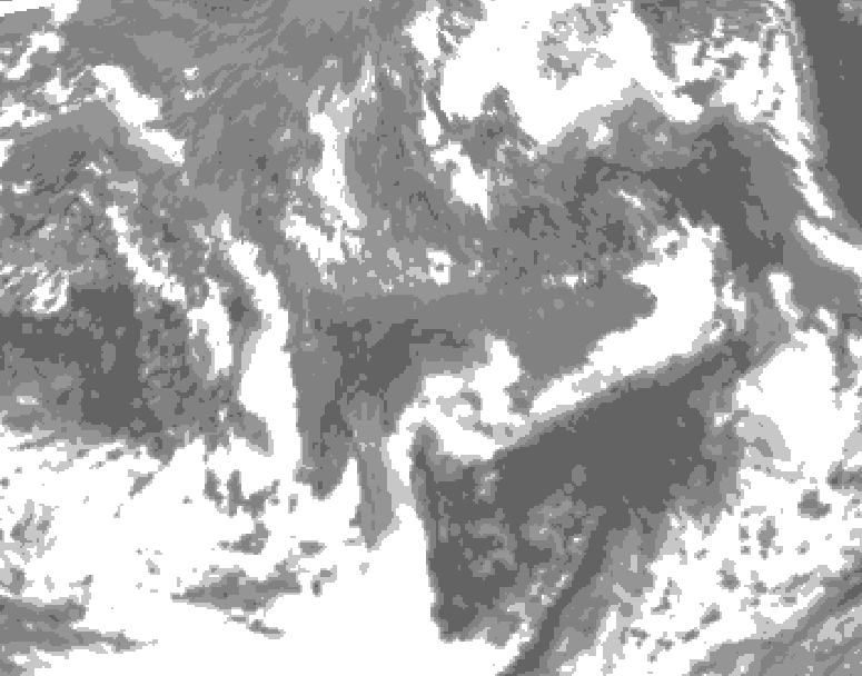
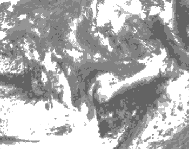
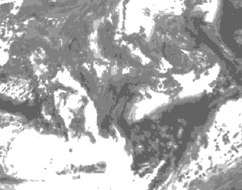
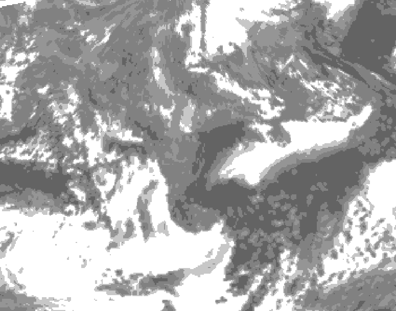
Total cloud cover in percent of the sky:
(Click on 'tot-cloud' below)
0 - 20%: clear
20 - 40%: very light grey
40 - 60%: light grey
60 - 80%: grey
80-100%: dark grey