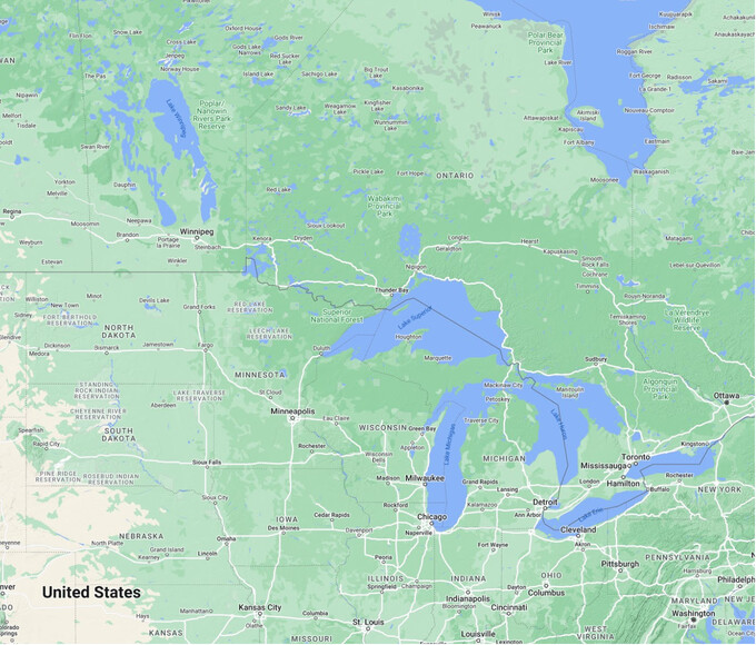
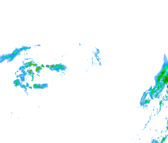
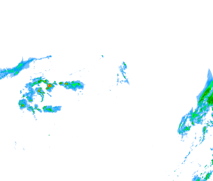
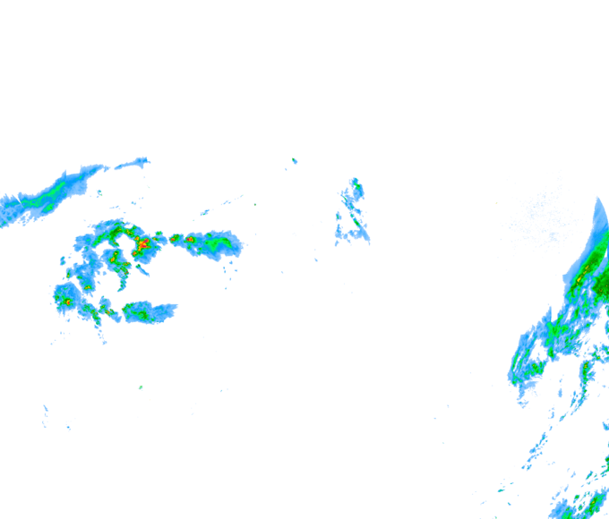
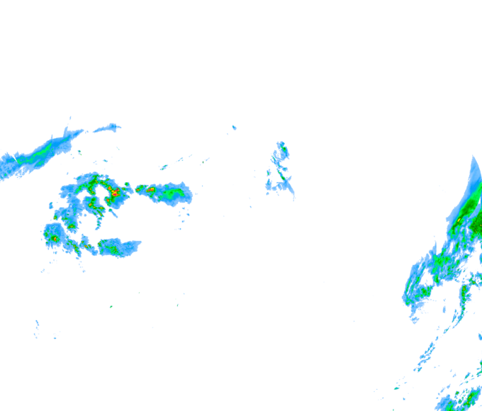
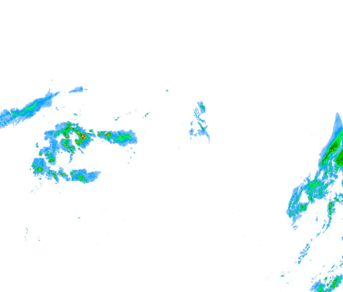
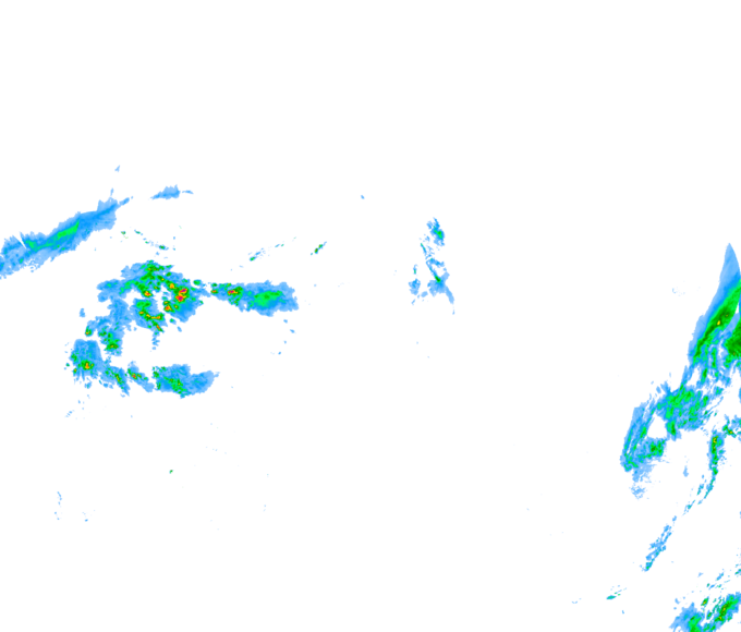
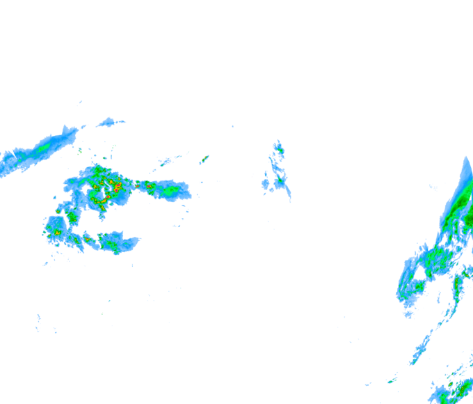
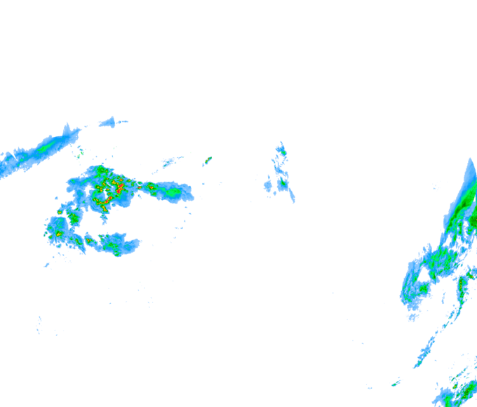
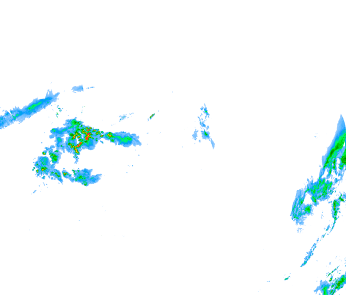
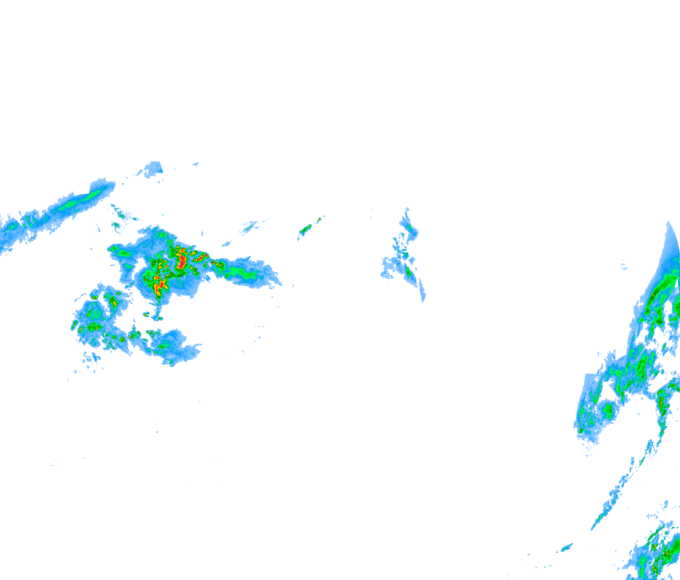
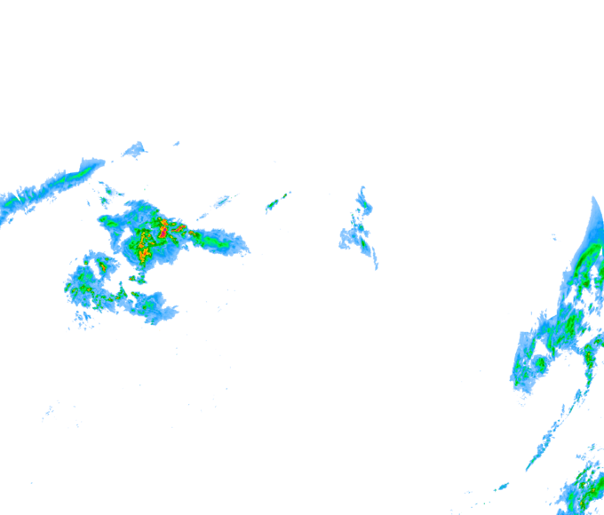
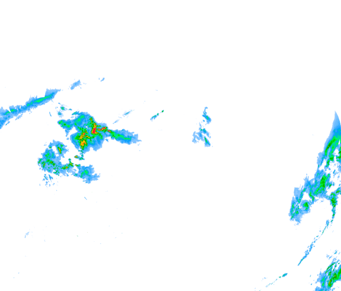
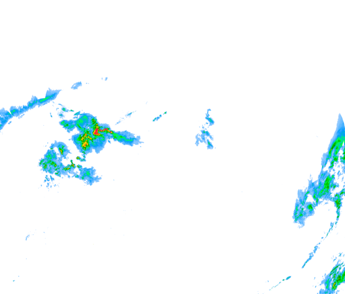
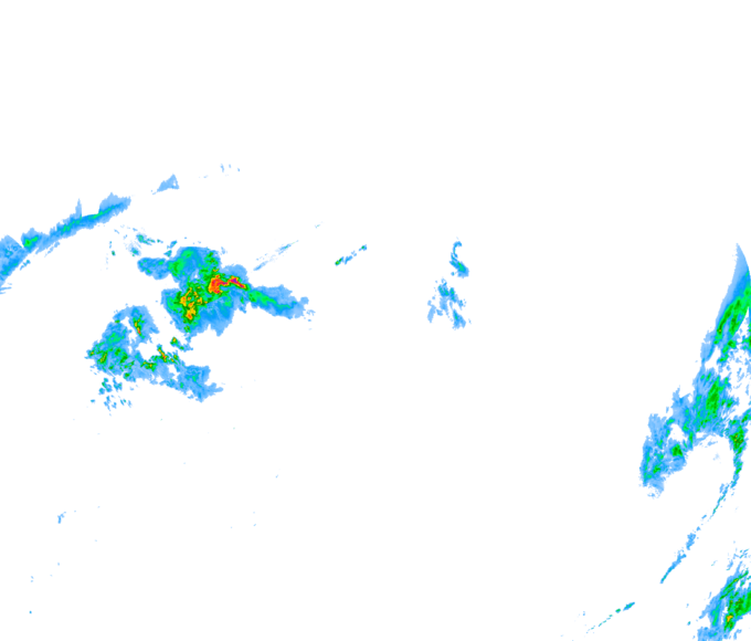
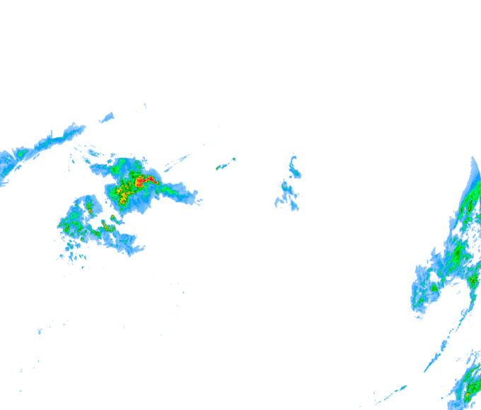
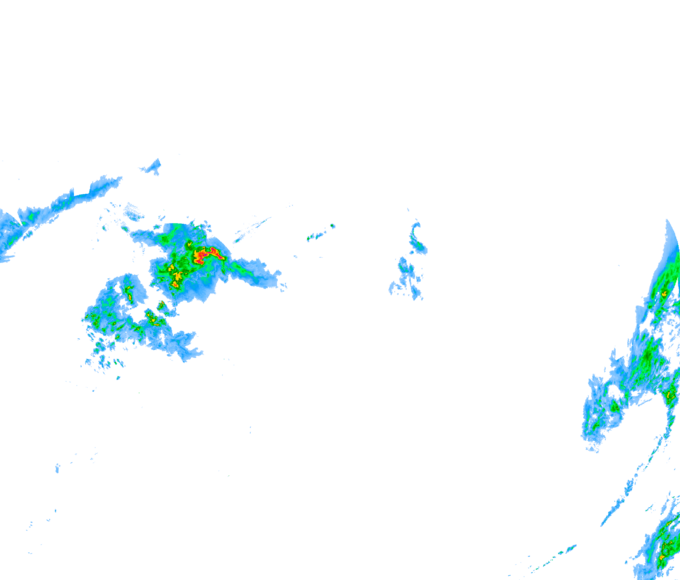
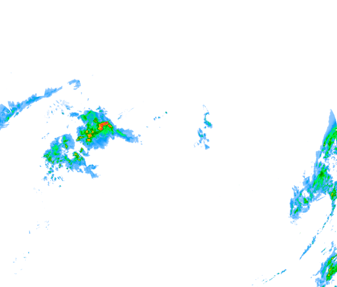
Central Canada, MB-ON
Click on the map to zoom in.
Data loop:
Time ▾
Radar ▾
Satellite ▾
Turn on radar and set the precipitation colour scale for rain or snow:
Radar precipitation blocks all other layers but is otherwise transparent. Reduce radar visibility when the data obscures the underlying map too much.
Adjust radar visibility:
This large scale map shows the overall movement of cloud by satellite and precipitation by radar. Click on the map to zoom in to a higher resolution display.
☐ Satellite on/off switch
○ day only view -- high cloud is given a blue/green tint
◎ grey day/night -- b&w view shows low cloud at night
Adjust satellite visibility/opacity.
○ 100% strong colours hide the base map ○ 80 ○ 60 ○ 40 ◎ 20 ○ 0 same as not there